
Page 209 - Green - Maritime Archaeology: A Technical Handbook. 2nd ed
P. 209
188 Maritime Archaeology: A Technical Handbook, Second Edition
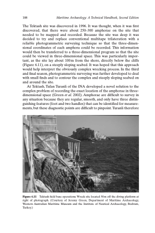
The Tektash site was discovered in 1996. It was thought, when it was first discovered, that there were about 250–300 amphorae on the site that needed to be mapped and recorded. Because the site was deep it was decided to try and replace conventional multitape trilateration with a reliable photogrammetric surveying technique so that the three-dimen- sional coordinates of each amphora could be recorded. This information would then be transferred to a three-dimensional program so that the site could be viewed in three-dimensional space. This was particularly impor- tant, as the site lay about 100m from the shore, directly below the cliffs (Figure 6.11), on a steeply sloping seabed. It was hoped that this approach would help interpret the obviously complex wrecking process. In the third and final season, photogrammetric surveying was further developed to deal with small finds and to contour the complex and steeply sloping seabed on and around the site.
At Tektash, Tufan Turanli of the INA developed a novel solution to the complex problem of recording the exact location of the amphorae in three- dimensional space (Green et al. 2002). Amphorae are difficult to survey in any situation because they are regular, smooth, and only have three distin- guishing features (foot and two handles) that can be identified for measure- ments, but these diagnostic points are difficult to pinpoint. Turanli therefore
Figure 6.11 Tektash field base operations. Wreck site located 50 m off the diving platform at right of photograph. (Courtesy of Jeremy Green, Department of Maritime Archaeology, Western Australian Maritime Museum and the Institute of Nautical Archaeology, Bodrum, Turkey.)
