Page 314 - The ROV Manual - A User Guide for Remotely Operated Vehicles 2nd edition
P. 314
  306 CHAPTER 12 Sensor Theory
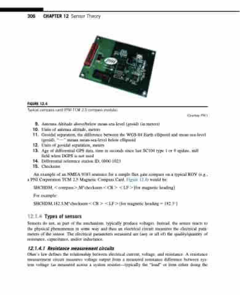
 FIGURE 12.4
Typical compass card (PNI TCM 2.5 compass module).
 9. Antenna Altitude above/below mean-sea-level (geoid) (in meters)
10. Units of antenna altitude, meters
11. Geoidal separation, the difference between the WGS-84 Earth ellipsoid and mean-sea-level
(geoid), “ 2 ” means mean-sea-level below ellipsoid
12. Units of geoidal separation, meters
13. Age of differential GPS data, time in seconds since last SC104 type 1 or 9 update, null
field when DGPS is not used
14. Differential reference station ID, 0000-1023
15. Checksum
An example of an NMEA 0183 sentence for a simple flux gate compass on a typical ROV (e.g., a PNI Corporation TCM 2.5 Magnetic Compass Card, Figure 12.4) would be:
$HCHDM, , compass.,Mchecksum , CR . , LF . [for magnetic heading] For example:
$HCHDM,182.3,Mchecksum , CR . , LF . [for magnetic heading 5 182.3]
12.1.4 Types of sensors
Sensors do not, as part of the mechanism, typically produce voltages. Instead, the sensor reacts to the physical phenomenon in some way and then an electrical circuit measures the electrical para- meters of the sensor. The electrical parameters measured are (any or all of) the quality/quantity of resistance, capacitance, and/or inductance.
12.1.4.1 Resistance measurement circuits
Ohm’s law defines the relationship between electrical current, voltage, and resistance. A resistance measurement circuit measures voltage output from a measured resistance difference between sys- tem voltage (as measured across a system resistor—typically the “load” or item either doing the
(Courtesy PNI.)


