
Page 457 - The ROV Manual - A User Guide for Remotely Operated Vehicles 2nd edition
P. 457
450 CHAPTER 16 Acoustic Positioning
FIGURE 16.23
Readout of geo-referenced coordinates.
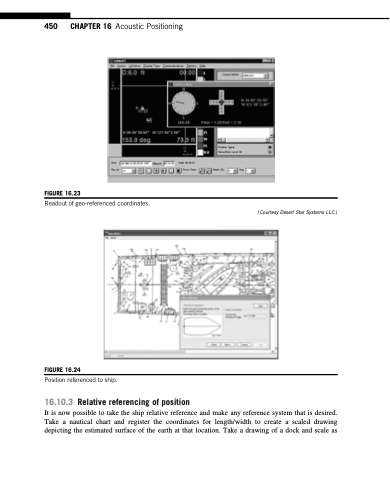
FIGURE 16.24
Position referenced to ship.
16.10.3 Relative referencing of position
(Courtesy Desert Star Systems LLC.)
It is now possible to take the ship relative reference and make any reference system that is desired. Take a nautical chart and register the coordinates for length/width to create a scaled drawing depicting the estimated surface of the earth at that location. Take a drawing of a dock and scale as
