
Page 12 - Empires of Medieval West Africa
P. 12
i n t r o d u c t i o n
After flowing down from the highlands of Guinea, the Niger River
is joined by many smaller rivers. It is about 1,000 yards wide by the time
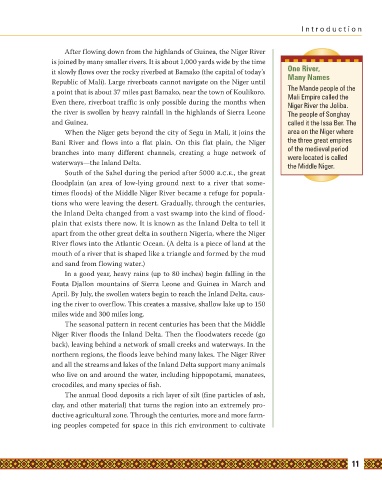
it slowly flows over the rocky riverbed at Bamako (the capital of today’s One River,
Republic of Mali). Large riverboats cannot navigate on the Niger until Many Names
a point that is about 37 miles past Bamako, near the town of Koulikoro. The Mande people of the
Mali Empire called the
Even there, riverboat traffic is only possible during the months when Niger River the Joliba.
the river is swollen by heavy rainfall in the highlands of Sierra Leone The people of Songhay
and Guinea. called it the Issa Ber. The
When the Niger gets beyond the city of Segu in Mali, it joins the area on the Niger where
Bani River and flows into a flat plain. On this flat plain, the Niger the three great empires
branches into many different channels, creating a huge network of of the medieval period
were located is called
waterways—the Inland Delta. the Middle Niger.
South of the Sahel during the period after 5000 b.c.e., the great
floodplain (an area of low-lying ground next to a river that some-
times floods) of the Middle Niger River became a refuge for popula-
tions who were leaving the desert. Gradually, through the centuries,
the Inland Delta changed from a vast swamp into the kind of flood-
plain that exists there now. It is known as the Inland Delta to tell it
apart from the other great delta in southern Nigeria, where the Niger
River flows into the Atlantic Ocean. (A delta is a piece of land at the
mouth of a river that is shaped like a triangle and formed by the mud
and sand from flowing water.)
In a good year, heavy rains (up to 80 inches) begin falling in the
Fouta Djallon mountains of Sierra Leone and Guinea in March and
April. By July, the swollen waters begin to reach the Inland Delta, caus-
ing the river to overflow. This creates a massive, shallow lake up to 150
miles wide and 300 miles long.
The seasonal pattern in recent centuries has been that the Middle
Niger River floods the Inland Delta. Then the floodwaters recede (go
back), leaving behind a network of small creeks and waterways. In the
northern regions, the floods leave behind many lakes. The Niger River
and all the streams and lakes of the Inland Delta support many animals
who live on and around the water, including hippopotami, manatees,
crocodiles, and many species of fish.
The annual flood deposits a rich layer of silt (fine particles of ash,
clay, and other material) that turns the region into an extremely pro-
ductive agricultural zone. Through the centuries, more and more farm-
ing peoples competed for space in this rich environment to cultivate
11