
Page 4 - book
P. 4
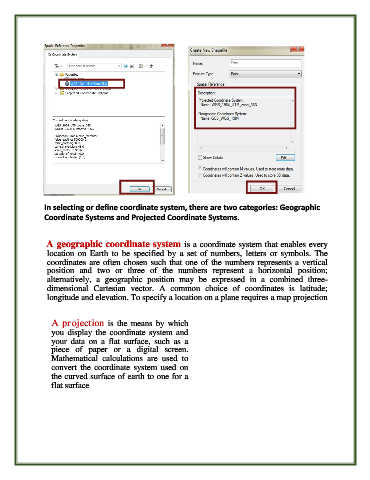
In selecting or define coordinate system, there are two categories: Geographic
               Coordinate Systems and Projected Coordinate Systems.


                A geographic coordinate system is a coordinate system that enables every
                location  on  Earth  to  be  specified  by  a  set  of  numbers,  letters  or  symbols.  The
                coordinates are often chosen such that one of the numbers represents a vertical
                position  and  two  or  three  of  the  numbers  represent  a  horizontal  position;
                alternatively,  a  geographic  position  may  be  expressed  in  a  combined  three-
                dimensional  Cartesian  vector.  A  common  choice  of  coordinates  is  latitude;
                longitude and elevation. To specify a location on a plane requires a map projection


                A projection  is  the  means  by  which
                  you  display  the  coordinate  system  and
                  your  data  on  a  flat  surface,  such  as  a
                  piece  of  paper  or  a  digital  screen.
                  Mathematical  calculations  are  used  to
                  convert  the  coordinate  system  used  on
                  the curved surface of earth to one for a
                  flat surface