
Page 3 - Student-Brochure-BeAsurveyor
P. 3
The Frontier
of Technology
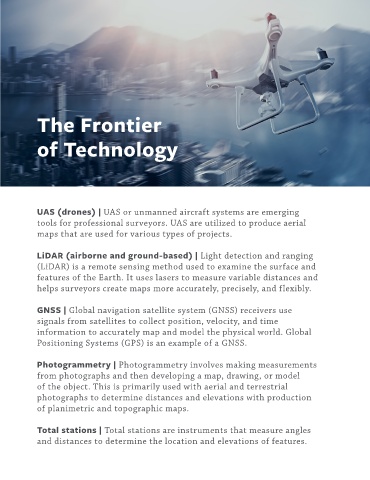
UAS (drones) | UAS or unmanned aircraft systems are emerging
tools for professional surveyors. UAS are utilized to produce aerial
maps that are used for various types of projects.
LiDAR (airborne and ground-based) | Light detection and ranging
(LiDAR) is a remote sensing method used to examine the surface and
features of the Earth. It uses lasers to measure variable distances and
helps surveyors create maps more accurately, precisely, and flexibly.
GNSS | Global navigation satellite system (GNSS) receivers use
signals from satellites to collect position, velocity, and time
information to accurately map and model the physical world. Global
Positioning Systems (GPS) is an example of a GNSS.
Photogrammetry | Photogrammetry involves making measurements
from photographs and then developing a map, drawing, or model
of the object. This is primarily used with aerial and terrestrial
photographs to determine distances and elevations with production
of planimetric and topographic maps.
Total stations | Total stations are instruments that measure angles
and distances to determine the location and elevations of features.