
Page 15 - The EDGE Summer 2025
P. 15
FRONTLINE EDUCATION
BY BRENDA RICHMOND
Optimizing School Boundaries and Building
Utilization with Confidence
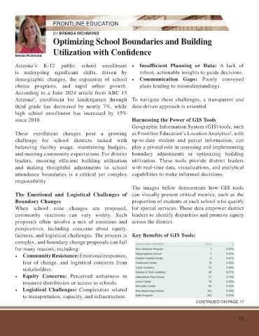
Brenda Richmond
Arizona’s K-12 public school enrollment • Insufficient Planning or Data: A lack of
is undergoing significant shifts, driven by robust, actionable insights to guide decisions.
demographic changes, the expansion of school • Communication Gaps: Poorly conveyed
choice programs, and rapid urban growth. plans leading to misunderstandings.
According to a June 2024 article from ABC 15
Arizona , enrollment for kindergarten through To navigate these challenges, a transparent and
1
third grade has decreased by nearly 7%, while data-driven approach is essential.
high school enrollment has increased by 15%
since 2010. Harnessing the Power of GIS Tools
Geographic Information System (GIS) tools, such
These enrollment changes pose a growing as Frontline Education’s Location Analytics , with
2
challenge for school districts tasked with up-to-date student and parcel information, can
balancing facility usage, maintaining budgets, play a pivotal role in assessing and implementing
and meeting community expectations. For district boundary adjustments or optimizing building
leaders, ensuring efficient building utilization utilization. These tools provide district leaders
and making thoughtful adjustments to school with real-time data, visualizations, and analytical
attendance boundaries is a critical yet complex capabilities to make informed decisions.
responsibility
The images below demonstrate how GIS tools
The Emotional and Logistical Challenges of can visually present critical metrics, such as the
Boundary Changes proportion of students at each school who qualify
When school zone changes are proposed, for special services. These data empower district
community reactions can vary widely. Such leaders to identify disparities and promote equity
proposals often involve a mix of emotions and across the district.
perspectives, including concerns about equity,
fairness, and logistical challenges. The process is Key Benefits of GIS Tools:
complex, and boundary change proposals can fail
for many reasons, including:
• Community Resistance: Emotional responses,
fear of change, and logistical concerns from
stakeholders.
• Equity Concerns: Perceived unfairness in
resource distribution or access to schools.
• Logistical Challenges: Complexities related
to transportation, capacity, and infrastructure.
CONTINUED ON PAGE 17
15