
Page 59 - EM SOCIAL NOTES 10TH CLASS PSR DIGITAL BOOKS
P. 59
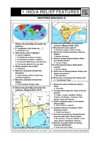
1. INDIA-RELIEF FEATURES


                                              MAPPING SKILLS(AS-2)


                   Observe  the given Map and answer the      II. Observe the given Map and answer the
                   questions.                                    questions. (Mapping Skills -AS-5)
                 1 : 0° Longitude is also known as___?        1: What about the map explains?
                                                                 A: Peninsular plateau, Ghats and hills.
                   A: Greenwich Line.
                                                              2 : What is the northern boundary of Deccan
                 2 : What ate the uses of latitudes?
                   A: Uses of Latitudes:                         Plateau?
                                                                 A: Satpura Mountains
                   1. To identify the location of a place.
                   2. To estimate the weather conditions.     3 : Which is located between Eastern Ghats
                                                                 and  Western Ghats?
                   3. To know the differences in the day time.
                                                                 A : Deccan Plateau.
                   4. To know the distance from our area.     4: In which physical feature Hyderabad is
                 3 : Which continent has no life?
                                                                 located?
                   A: Antarctica.                                A: Deccan Plateau.
                 4 : Name the continents formed from          5 : Which river is flowing between Vindhya and
                   Gondwana.                                     Satpura mountains?
                   A: South America, Africa, South India,        A: Narmada River.
                   Australia, Antarctica.                     6. Which rivers are draining into Arabian sea?
                 5 : Name the continents formed from             A. Narmada and Tapti.
                   Angara.
                   A : North America, Europe, Asia.           1 : What is the extent of India from East to
                                                                 West?
                 II. Observe the given Map and answer the
                                                                 A : 2933 KMs.
                   questions. (Mapping Skills -AS-5)
                                                              2 : Through which states the Tropic of Cancer
                                                                 passes?
                                                                 A. 8 states.  Gujarat, Rajasthan, Madhya
                                                                 Pradesh, Chhattisgarh, Jharkhand, West
                                                                 Bengal, Tripura and Mizoram.
                                                              3 : Which Longitude passes in the Extreme
                                                                 West to India?
                                                                 A : 68¢7‘ Eastern Longitude.
                                                              4 : Andaman islands are located in which
                                                                 direction to India?
                                                                 A : South-East direction.
                                                              5 : How many countries are sharing the land
                                                                 boundary with India? What are they?
                                                                 A: Six countries. Those are Pakistan, China
                                                                 Nepal, Bhutan, Bangladesh, Myanmar.
                                                              6: Name the countries which are sharing
                                                                 boundary with Bhutan?
                                                                 A : India and China (Tibet).


              TEACHER AND  STUDENT  PUBLICATIONS,  ONLY  10TH  CLASS  (127)  PSR  DIGITAL BOOKS (ONLINE&OFFLINE), ALL SUBJECTS (TM&EM) 9885678410