
Page 10 - Austin Road Flipbook
P. 10
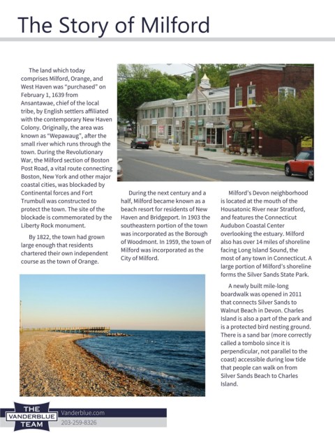
The Story of Milford


           The land which today
         comprises Milford, Orange, and
         West Haven was “purchased” on
         February 1, 1639 from
         Ansantawae, chief of the local
         tribe, by English settlers affiliated
         with the contemporary New Haven
         Colony. Originally, the area was
         known as “Wepawaug”, after the
         small river which runs through the
         town. During the Revolutionary
         War, the Milford section of Boston
         Post Road, a vital route connecting
         Boston, New York and other major
         coastal cities, was blockaded by
         Continental forces and Fort            During the next century and a        Milford’s Devon neighborhood
         Trumbull was constructed to         half, Milford became known as a      is located at the mouth of the
         protect the town. The site of the   beach resort for residents of New    Housatonic River near Stratford,
         blockade is commemorated by the     Haven and Bridgeport. In 1903 the    and features the Connecticut
         Liberty Rock monument.              southeastern portion of the town     Audubon Coastal Center
                                             was incorporated as the Borough      overlooking the estuary. Milford
           By 1822, the town had grown
         large enough that residents         of Woodmont. In 1959, the town of    also has over 14 miles of shoreline
         chartered their own independent     Milford was incorporated as the      facing Long Island Sound, the
         course as the town of Orange.       City of Milford.                     most of any town in Connecticut. A
                                                                                  large portion of Milford’s shoreline
                                                                                  forms the Silver Sands State Park.
                                                                                     A newly built mile-long
                                                                                  boardwalk was opened in 2011
                                                                                  that connects Silver Sands to
                                                                                  Walnut Beach in Devon. Charles
                                                                                  Island is also a part of the park and
                                                                                  is a protected bird nesting ground.
                                                                                  There is a sand bar (more correctly
                                                                                  called a tombolo since it is
                                                                                  perpendicular, not parallel to the
                                                                                  coast) accessible during low tide
                                                                                  that people can walk on from
                                                                                  Silver Sands Beach to Charles
                                                                                  Island.