
Page 38 - The Black Range Naturalist Vol. 4, No. 3
P. 38
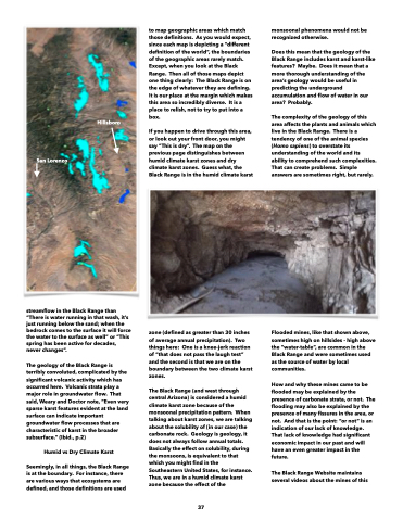
  San Lorenzo
Hillsboro
to map geographic areas which match those definitions. As you would expect, since each map is depicting a “different definition of the world”, the boundaries of the geographic areas rarely match. Except, when you look at the Black Range. Then all of those maps depict one thing clearly: The Black Range is on the edge of whatever they are defining. It is our place at the margin which makes this area so incredibly diverse. It is a place to relish, not to try to put into a box.
If you happen to drive through this area, or look out your front door, you might say “This is dry”. The map on the previous page distinguishes between humid climate karst zones and dry climate karst zones. Guess what, the Black Range is in the humid climate karst
monsoonal phenomena would not be recognized otherwise.
Does this mean that the geology of the Black Range includes karst and karst-like features? Maybe. Does it mean that a more thorough understanding of the area’s geology would be useful in predicting the underground accumulation and flow of water in our area? Probably.
The complexity of the geology of this area affects the plants and animals which live in the Black Range. There is a tendency of one of the animal species (Homo sapiens) to overstate its understanding of the world and its ability to comprehend such complexities. That can create problems. Simple answers are sometimes right, but rarely.
   streamflow in the Black Range than “There is water running in that wash, it’s just running below the sand; when the bedrock comes to the surface it will force the water to the surface as well” or “This spring has been active for decades, never changes”.
The geology of the Black Range is terribly convoluted, complicated by the significant volcanic activity which has occurred here. Volcanic strata play a major role in groundwater flow. That said, Weary and Doctor note, “Even very sparse karst features evident at the land surface can indicate important groundwater flow processes that are characteristic of karst in the broader subsurface.” (Ibid., p.2)
Humid vs Dry Climate Karst
Seemingly, in all things, the Black Range is at the boundary. For instance, there are various ways that ecosystems are defined, and those definitions are used
zone (defined as greater than 30 inches of average annual precipitation). Two things here: One is a knee-jerk reaction of “that does not pass the laugh test” and the second is that we are on the boundary between the two climate karst zones.
The Black Range (and west through central Arizona) is considered a humid climate karst zone because of the monsoonal precipitation pattern. When talking about karst zones, we are talking about the solubility of (in our case) the carbonate rock. Geology is geology, it does not always follow annual totals. Basically the effect on solubility, during the monsoons, is equivalent to that which you might find in the Southeastern United States, for instance. Thus, we are in a humid climate karst zone because the effect of the
Flooded mines, like that shown above, sometimes high on hillsides - high above the “water-table”, are common in the Black Range and were sometimes used as the source of water by local communities.
How and why these mines came to be flooded may be explained by the presence of carbonate strata, or not. The flooding may also be explained by the presence of many fissures in the area, or not. And that is the point: “or not” is an indication of our lack of knowledge. That lack of knowledge had significant economic impact in our past and will have an even greater impact in the future.
The Black Range Website maintains several videos about the mines of this
37
