
Page 33 - The Silver Fire
P. 33
Silver Fire Containment Reaches 20 Per Cent, Smoke Report, Map (Con’t)
www.flickr.com/
gilaforest, www.twitter.com/ SilverFireNM.
Notice From The HCC Flood Planning Meeting
Tuesday, June 25, 6:00 - 8:00 p.m., at the Hillsboro Community Center
Sierra County will be holding a meeting next Tuesday evening to present information on the process that they expect to follow to assess flood danger and to plan for addressing it, in the wake of the Silver Fire.
Emergency Management Officer Donna Sanchez will conduct the meeting. She is currently working with state and local experts as well as U. S. Forest Service personnel with experience on rehabilitation and remediation at the site of last summer's Whitewater Baldy Fire in the Gila National Forest.
USFS News Release
Red Flag Warning to Challenge Firefighters
A red flag warning is in effect for the Silver Fire area today and will continue to challenge firefighters. According to the National Oceanic and Atmospheric Administration, the warnings are issued to warn fire managers about “critical weather and fuel moisture conditions that could
THE BLACK RANGE RAG - WWW.BLACKRANGE.ORG
Basic Information about the fire (above) and Hillsboro Smoke Monitoring Site - Results from 6/21 - 7:37 a.m. (below)
Fire progression thru June 19, below:
June 21 - Flood Planning Meeting - Fire Grows to 44,600 Acres - Fire Map (2nd Post of the Day)
As of this posting the Silver Fire has consumed 44,600 acres.
Visit the official fire site for the latest and best information: Silver Fire Site
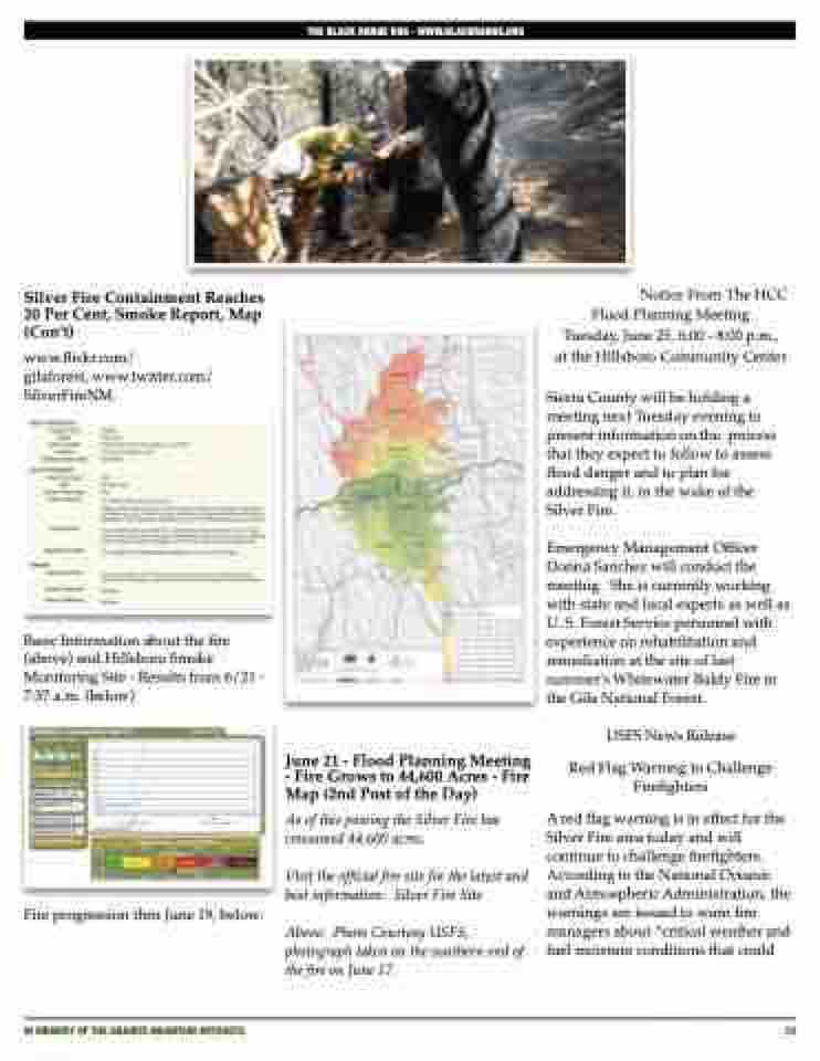
Above: Photo Courtesy USFS, photograph taken on the southern end of the fire on June 17.
IN MEMORY OF THE GRANITE MOUNTAIN HOTSHOTS
33
