
Page 34 - The Silver Fire
P. 34
THE BLACK RANGE RAG - WWW.BLACKRANGE.ORG
Flood Planning Meeting - Fire Grows to 44,600 Acres - Fire Map (Con’t)
lead to rapid or dramatic increases in wildfire activity.” Warnings are generated as a result of low relative humidity, strong winds, dry fuels, or a combination of these factors. A similar warning was in effect for the fire area yesterday when the fire grew to 44,600 acres. Containment remains at 20 percent.
A public meeting will be held tonight at the Round Up Lodge in San Lorenzo at 6 p.m. to provide information on the current status of the fire and to answer questions from the public.
Silver Fire resources include five helicopters, five 20-person hotshot crews, four 20-person hand crews, 15 engines, one dozer and eight water tenders for 498 total personnel.
Cooperators include the Grant and Sierra County Sheriff’s Departments, NM State Police, Las Cruces BLM District, NM State Forestry and NM Department of Transportation.
Forest and road closure information can be found at: http://fs.usda.gov/ gila and www.nmroads.com.
Silver Fire updates can be found on Inciweb at http://inciweb.nwcg.gov/ incident/3414. For additional fire information visit the following websites: www.facebook.com/ SilverFireNM,www.flickr.com/ gilaforest, www.twitter.com/ SilverFireNM.
Fire Map - Thru June 20
June 22, 2013 - 12,000 Acre Growth on Silver Fire
As of this posting the Silver Fire has consumed 56,000 acres.
Visit the official fire site for the latest and best information: Silver Fire Site
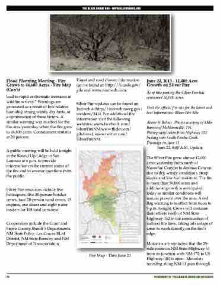
Above & Below: Photos courtesy of Mike Barnes of McMinnville, TN. Photographs taken from Highway 152 looking into South Percha Creek Drainage on June 21.
June 22, 8:00 A.M. Update
The Silver Fire grew almost 12,000 acres yesterday from north of Noonday Canyon to Animas Canyon due to dry, windy conditions, steep slopes and low fuel moisture. The fire is more than 56,000 acres and additional growth is anticipated today as similar conditions will remain present over the area. A red flag warning is in effect from noon to 9 p.m. tonight. Crews will continue their efforts north of NM State Highway 152 in the construction of indirect fire lines, taking advantage of areas to work directly on the fire’s edge.
Motorists are reminded that the 25- mile route on NM State Highway 61 from its junction with NM-152 to US Highway 180 is open. Motorists traveling along NM-61 pass through
34
iN MEMORY OF THE GRANITE MOUNTAIN HOTSHOTS
