
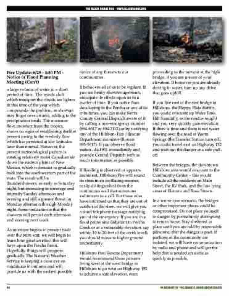
Page 46 - The Silver Fire
P. 46
  THE BLACK RANGE RAG - WWW.BLACKRANGE.ORG
   Fire Update: 6/29 - 4:30 PM - Notice of Flood Planning Meeting (Con’t)
a large volume of water in a short period of time. The winds aloft which transport the clouds are lighter in this time of the year which compounds the problem, as showers may linger over an area, adding to the precipitation totals. The monsoon flow, moisture from the tropics, shows no signs of establishing itself at present owing to the westerly flow which has persisted at low latitudes later than normal. However, the present meteorological pattern is rotating relatively moist Canadian air down the eastern plains of New Mexico, which is forecast to gradually back into the southwestern part of the state. The result will be thundershowers, as early as Saturday night, but increasing in coverage and intensity Sunday afternoon and evening and still a greater threat on Monday afternoon through Monday night. Some indication is that the showers will persist each afternoon and evening next week.
As moisture begins to present itself over the burn scar, we will begin to learn how great an effect this will have upon the Percha Basin. Hopefully, things will progress gradually. The National Weather Service is keeping a close eye on conditions in our area and will provide us with the earliest possible
notice of any threats to our communities.
It behooves all of us to be vigilant. If you see heavy showers upstream, anticipate its effects upon us in a matter of time. If you notice flow developing in the Percha or any of its tributaries, you can make Sierra County Central Dispatch aware of it by calling a non-emergency number (894-6617 or 894-7112) or by notifying any of the Hillsboro Fire /Rescue Department members (Bowen 895-5617). If you observe flood waters, dial 911 immediately and provide Central Dispatch with as much information as possible.
If flooding is observed or appears imminent, Hillsboro Fire will sound its siren in an oscillating manner, easily distinguished from the continuous wail that summons volunteers to a call. For those who have informed us that they are out of earshot of the siren, we will give you a short telephone message notifying you of the emergency. If you are in a flood prone area (adjacent to Percha Creek or at a vulnerable elevation, say within 10 to 20 feet of the creek level), you should move to higher ground immediately.
Hillsboro Fire/Rescue Department would recommend those persons living west of the west bridge in Hillsboro to go west on Highway 152 to achieve a safe elevation, even
proceeding to the turnout at the high bridge, if you are unsure of your elevation. If however you are already driving in water, turn up any drive that goes uphill.
If you live east of the east bridge in Hillsboro, the Happy Flats district, you could evacuate up Water Tank Hill (carefully, as the road is rough) and you very quickly gain elevation. If there is time and there is not water flowing over the road at Warm Springs (the Transfer Station turn off), you could travel east on Highway 152 and wait out the danger at a safe pull- off.
Between the bridges, the downtown Hillsboro area would evacuate to the Community Center – this would include all the residents on Main Street, the RV Park, and the low lying areas of Elenora and Rosa Streets.
In a worse case scenario, the bridges or other important places could be compromised. Do not place yourself in danger by prematurely attempting to return home. Stay sheltered in place until you are told by responsible personnel that the danger is past. If portions of the community are isolated, we will have communication by radio and phone and will get the help that is needed on scene as quickly as possible.
 46
iN MEMORY OF THE GRANITE MOUNTAIN HOTSHOTS
