
Page 35 - 2021 - 48.2
P. 35
196; 1955, 391] — (NRS A 1989, 786; 1997, 1049; 1999, 963)
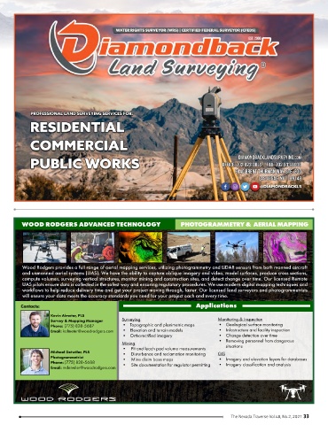
WOOD RODGERS ADVANCED TECHNOLOGY PHOTOGRAMMETRY & AERIAL MAPPING
Wood Rodgers provides a full range of aerial mapping services, utilizing photogrammetry and LiDAR sensors from both manned aircraft
and unmanned aerial systems (UAS). We have the ability to capture oblique imagery and video, model surfaces, produce cross sections,
compute volumes, surveying vertical structures, monitor mining and construction sites, and detect change over time. Our licensed Remote
UAS pilots ensure data is collected in the safest way and ensuring regulatory procedures. We use modern digital mapping techniques and
workflows to help reduce delivery time and get your project moving through, faster. Our licensed land surveyors and photogrammetrists
will ensure your data meets the accuracy standards you need for your project each and every time.
Contacts: Applications
Kevin Almeter, PLS
Survey & Mapping Manager Surveying Monitoring & Inspection
Phone: (775) 828-5687 • Topographic and planimetric maps • Geological surface monitoring
Email: kalmeter@woodrodgers.com • Elevation and terrain models • Infastructure and facility inspection
• Orthorectified imagery • Change detection over time
• Removing personnel from dangerous
Mining situations
• Pit and leach pad volume measurements
Michael Detwiler, PLS • Disturbance and reclamation monitoring GIS
Photogrammetrist • Mine claim base maps • Imagery and elevation layers for databases
Phone: (775) 828-5688 • Site documentation for regulator permitting • Imagery classification and analysis
Email: mdetwiler@woodrodgers.com
The Nevada Traverse Vol.48, No.2, 2021 33