
Page 47 - combinepdf
P. 47
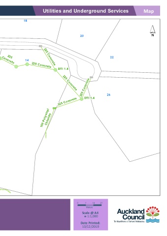
Auckland Council      Utilities and Underground Services                Map

             18
                                                                             ´
 16
 17
                                         20
                     ¢ D
 PLACE  225 Concrete  225 Concrete DTI 1.2  ! R  225  225 Concrete  22
 ¢ D
 ! R
 DTI 1.7
 KOTARE  Concrete ! R  14  225 Concrete  ! R  DTI 1.8
              ! R

                                              ¢ D
                                          225 Concrete
 15                              225 Concrete


                              225 Concrete
 12                                      ! R  DTI 1.4  26
                            ¢ D
                      150 Polyvinyl Chloride


 Ø ! <


 225  150 Concrete
 11  Concrete  ! R  225
 ¢ D  ¢ D  DTI 2.6  Concrete
 ! R
 DTI 1.68  225 Concrete  DTI 2.57
 225 Concrete  150 Concrete Ø  ! R  Concrete  ! R  300
 225
 ! <
 DTI 1.94
 Concrete


 DISCLAIMER:  Underground Services      0   7   14  21
 This map/plan is illustrative only and all information should be  Meters
 independently verified on site before taking any action.  12 Kotare Place Sandspit 0982
 Copyright Auckland Council.  Land Parcel Boundary information  Scale @ A4
 from LINZ (Crown Copyright Reserved).  Whilst due care has  Lot 127 DP 98537, Lot 103 DP 98537 1/8 SH  1:1,000
 been taken, Auckland Council gives no warranty as to the  =
 accuracy and plan completeness of any information on this
 map/plan and accepts no liability for any error, omission or use  Date Printed:
 of the information.  Height datum: Auckland 1946.  10/12/2019