Page 150 - UK ATM ANS Regulations (Consolidated) 201121
P. 150
Part MET - ANNEX V - Specific Requirements for the Providers of Meteorological
                                                        Services

                                              and upper-air temperature shall be issued for points separated by no more than 300 NM
                                              and for, as a minimum, the following altitudes: 2 000, 5 000 and 10 000 ft (600, 1 500 and
                                              3 000 m) and 15 000 ft (4 500 m) in mountainous areas. The issuance of forecasts of
                                              upper wind and upper- air temperature at an altitude of 2 000 ft (600 m) may be subject to
                                              local orographic considerations as determined by the competent authority.
                                          (b)  When chart form is used for area forecasts for low-level flights, the forecast of SIGWX
                                              phenomena shall be issued as low-level SIGWX forecast for flight levels up to 100, or up
                                              to flight level 150 in mountainous areas, or higher, where necessary. Low-level SIGWX
                                              forecasts shall include:
                                              (1)  the following phenomena warranting the issuance of a SIGMET: icing, turbulence,
                                                  cumulonimbus clouds that are obscured, frequent, embedded or occurring at a
                                                  squall line, sandstorms/dust storms and volcanic eruptions or a release of
                                                  radioactive materials into the atmosphere, and which are expected to affect low-
                                                  level flights;
                                              (2)  the following elements in area forecasts for low-level flights: surface wind, surface
                                                  visibility, significant weather phenomena, mountain obscuration, cloud, icing,
                                                  turbulence, mountain wave and height of zero-degree isotherm.
                                          (c)  When the competent authority has determined that the density of traffic operating below
                                              flight level 100 warrants the issuance of an AIRMET, the area forecasts shall be issued to
                                              cover the layer between the ground and flight level 100, or up to flight level 150 in
                                              mountainous areas, or higher, where necessary, and shall contain information on en-route
                                              weather phenomena hazardous to low-level flights, in support of the issuance of the
                                              AIRMET and the additional information required for low-level flights.
             MET.TR.260 AMC1         Area forecasts for low-level flights
                                      AMENDMENT OF LOW-LEVEL FORECASTS
                                          (a)  In case the AIRMET/low-level forecast concept is not fully implemented, the criteria for
                                              amendments should as a minimum include the weather phenomena hazardous to low-
                                              level flights, which constitute the criteria for the issuance of AIRMET.
                                          (b)  When low-level forecast is issued as a SIGWX chart or as a wind and temperature (W+T)
                                              chart, it should, as appropriate, include the cloud/visibility information in the form of
                                              visibility/cloud base category which should be provided for well-defined sub-areas and/or
                                              route segments. For each sub-area and/or route segment, the reference height to which
                                              the cloud base information refers should be specified.
                                          (c)  The graphical part of a SIGWX chart should depict the weather situation at the beginning
                                              of the validity period. Significant changes of initial weather parameters should be depicted
                                              together with time intervals determining the duration of expected changes.
             MET.TR.265              Volcanic ash advisory centre responsibilities
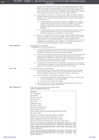
                                          (a)  The advisory information on volcanic ash shall be issued in abbreviated plain language
                                              and in accordance with the template shown in Appendix 6. When no abbreviations are
                                              available, English plain language text, to be kept to a minimum, shall be used.
                                          (b)  Volcanic ash advisory, if disseminated in digital form, shall be:
                                              (1)  formatted in accordance with a globally interoperable information exchange model
                                                  and shall use geography markup language (GML);
                                              (2)  accompanied by the appropriate metadata.
                                          (c)  Volcanic ash advisory information, when prepared in graphical format, shall be issued
                                              using the portable network graphics (PNG) format.
             MET.TR.265(a) GM1       Volcanic ash advisory centres (VAACs) responsibilities


     20th November 2021                                                                                     150 of 238

