
Page 354 - All files for Planning Inspectorate update
P. 354
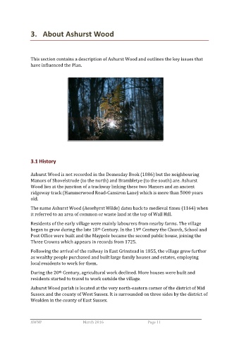
3.   About Ashurst Wood


                This section contains a description of Ashurst Wood and outlines the key issues that
                have influenced the Plan.


                3.1 History

                Ashurst Wood is not recorded in the Domesday Book (1086) but the neighbouring
                Manors of Shovelstrode (to the north) and Brambletye (to the south) are. Ashurst
                Wood lies at the junction of a trackway linking these two Manors and an ancient
                ridgeway track (Hammerwood Road-Cansiron Lane) which is more than 5000 years
                old.

                The name Ashurst Wood (Aesehyrst Wilde) dates back to medieval times (1164) when
                it referred to an area of common or waste land at the top of Wall Hill.

                Residents of the early village were mainly labourers from nearby farms. The village
                began to grow during the late 18  Century. In the 19  Century the Church, School and
                                                                      th
                                                  th
                Post Office were built and the Maypole became the second public house, joining the
                Three Crowns which appears in records from 1725.

                Following the arrival of the railway in East Grinstead in 1855, the village grew further
                as wealthy people purchased and built large family houses and estates, employing
                local residents to work for them.

                During the 20  Century, agricultural work declined. More houses were built and
                              th
                residents started to travel to work outside the village.

                Ashurst Wood parish is located at the very north-eastern corner of the district of Mid
                Sussex and the county of West Sussex. It is surrounded on three sides by the district of
                Wealden in the county of East Sussex.


                AWNP                            March 2016                                                  Page 11