
Page 361 - All files for Planning Inspectorate update
P. 361
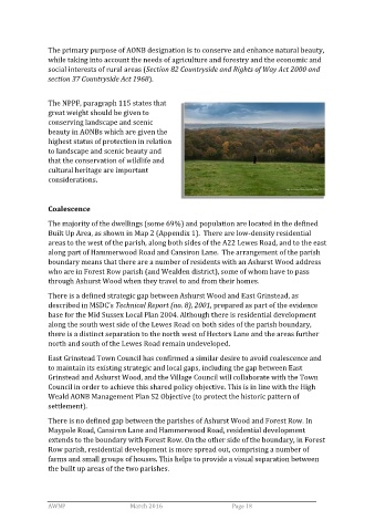
The primary purpose of AONB designation is to conserve and enhance natural beauty,
                while taking into account the needs of agriculture and forestry and the economic and
                social interests of rural areas (Section 82 Countryside and Rights of Way Act 2000 and
                section 37 Countryside Act 1968).


                The NPPF, paragraph 115 states that
                great weight should be given to
                conserving landscape and scenic
                beauty in AONBs which are given the
                highest status of protection in relation
                to landscape and scenic beauty and
                that the conservation of wildlife and
                cultural heritage are important
                considerations.


                Coalescence

                The majority of the dwellings (some 69%) and population are located in the defined
                Built Up Area, as shown in Map 2 (Appendix 1).  There are low-density residential
                areas to the west of the parish, along both sides of the A22 Lewes Road, and to the east
                along part of Hammerwood Road and Cansiron Lane.  The arrangement of the parish
                boundary means that there are a number of residents with an Ashurst Wood address
                who are in Forest Row parish (and Wealden district), some of whom have to pass
                through Ashurst Wood when they travel to and from their homes.

                There is a defined strategic gap between Ashurst Wood and East Grinstead, as
                described in MSDC’s Technical Report (no. 8), 2001, prepared as part of the evidence
                base for the Mid Sussex Local Plan 2004. Although there is residential development
                along the south west side of the Lewes Road on both sides of the parish boundary,
                there is a distinct separation to the north west of Hectors Lane and the areas further
                north and south of the Lewes Road remain undeveloped.

                East Grinstead Town Council has confirmed a similar desire to avoid coalescence and
                to maintain its existing strategic and local gaps, including the gap between East
                Grinstead and Ashurst Wood, and the Village Council will collaborate with the Town
                Council in order to achieve this shared policy objective. This is in line with the High
                Weald AONB Management Plan S2 Objective (to protect the historic pattern of
                settlement).
                There is no defined gap between the parishes of Ashurst Wood and Forest Row. In
                Maypole Road, Cansiron Lane and Hammerwood Road, residential development
                extends to the boundary with Forest Row. On the other side of the boundary, in Forest
                Row parish, residential development is more spread out, comprising a number of
                farms and small groups of houses. This helps to provide a visual separation between
                the built up areas of the two parishes.


                AWNP                            March 2016                                                  Page 18