
Page 1338 - Dive the Seas and More-2
P. 1338
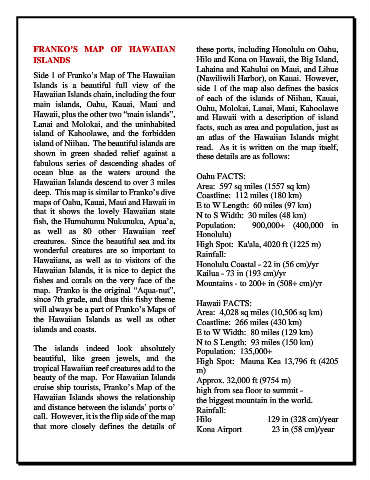
FRANKO’S MAP OF  HAWAIIAN                             these ports, including Honolulu on Oahu,
            ISLANDS                                               Hilo and Kona on Hawaii, the Big Island,
                                                                  Lahaina and Kahului on Maui, and Lihue
            Side 1 of Franko’s Map of The Hawaiian                (Nawiliwili Harbor), on Kauai.  However,
            Islands is a beautiful full view of the               side 1 of the map also defines the basics
            Hawaiian Islands chain, including the four            of each of the islands of Niihau, Kauai,
            main islands, Oahu, Kauai, Maui and                   Oahu, Molokai, Lanai, Maui, Kahoolawe
            Hawaii, plus the other two “main islands”,            and Hawaii with a description of island
            Lanai and Molokai, and the uninhabited                facts, such as area and population, just as
            island of Kahoolawe, and the forbidden                an atlas of the Hawaiian Islands might
            island of Niihau.  The beautiful islands are          read.  As it is written on the map itself,
            shown in green shaded relief against a                these details are as follows:
            fabulous  series  of  descending  shades  of
            ocean blue  as the waters around the                  Oahu FACTS:
            Hawaiian Islands descend to over 3 miles              Area:  597 sq miles (1557 sq km)
            deep.  This map is similar to Franko’s dive           Coastline:  112 miles (180 km)
            maps of Oahu, Kauai, Maui and Hawaii in               E to W Length:  60 miles (97 km)
            that  it  shows  the  lovely  Hawaiian  state         N to S Width:  30 miles (48 km)
            fish, the Humuhumu Nukunuku, Apua’a,                  Population:  900,000+ (400,000 in
            as  well  as  80  other  Hawaiian  reef               Honolulu)
            creatures.  Since the beautiful sea and its           High Spot:  Ka'ala, 4020 ft (1225 m)
            wonderful creatures are so important to               Rainfall:
            Hawaiians,  as well  as to visitors of the            Honolulu Coastal - 22 in (56 cm)/yr
            Hawaiian Islands, it is nice to depict the            Kailua - 73 in (193 cm)/yr
            fishes and corals on the very face of the             Mountains - to 200+ in (508+ cm)/yr
            map.  Franko is the original “Aqua-nut”,
            since 7th grade, and thus this fishy theme            Hawaii FACTS:
            will always be a part of Franko’s Maps of             Area:  4,028 sq miles (10,506 sq km)
            the Hawaiian  Islands as  well as other               Coastline:  266 miles (430 km)
            islands and coasts.                                   E to W Width:  80 miles (129 km)
                                                                  N to S Length:  93 miles (150 km)
            The islands indeed look absolutely                    Population:  135,000+
            beautiful,  like  green  jewels,  and  the            High Spot:  Mauna Kea 13,796 ft (4205
            tropical Hawaiian reef creatures add to the           m)
            beauty of the map.  For Hawaiian Islands              Approx. 32,000 ft (9754 m)
            cruise ship tourists, Franko’s Map of the             high from sea floor to summit -

            Hawaiian  Islands shows the relationship              the biggest mountain in the world.
            and distance between the islands’ ports o’            Rainfall:
            call.  However, it is the flip side of the map        Hilo                           129 in (328 cm)/year
            that  more  closely  defines the  details  of         Kona Airport              23 in (58 cm)/year