Page 310 - A Hand Book of Arabia Vol 2_Neat
P. 310
)
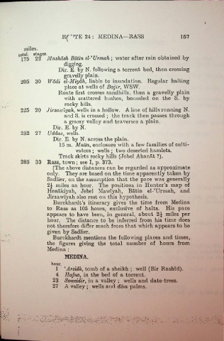
llfiTE24: MEDINA—RASS 167
miles.
total, stagos.
175 22 Mashdsh Batin cl-' Ur mail; water after rain obtained by
digging.
Dir. E. by N. following a torrent bed, then crossing
gravelly plain.
205 30 Wadi el-Miyah, liable to inundation. Regular halting
place at wells of Bajir, WSW.
Route first crosses sandhills, then a gravelly plain
with scattered bushes, bounded on the S. by
rocky hills.
225 20 Jirmwiyah, wells in a hollow. Aline of hills running N.
and S. is crossed ; the track then passes through
a grassy valley and traverses a plain.
Dir. E. by N.
252 27 Uddas, wells.
Dir. E. by N. across the plain.
15 m. Matta, enclosure with a few families of culti
vators ; wells ; two deserted hamlets.
Track skirts rocky hills (Jebel Abanat ?).
285 33 Rass, town; see I, p. 373.
[The above distances can be regarded as approximate
only. They are based on the time apparently taken by
Sadlier, on the assumption that the pace was generally
2£ miles an hour. The positions in Hunter’s map of
Hcnakiyah, Jebel MawTyah, Batin el-'Urmah, and
Jirzawlyah also rest on this hypothesis. :
Burckhardt’s itinerary gives the time from Medina
to Rass as 105 hoiu-s, exclusive of halts. His pace
appears to have been, in general, about 2J miles per
hour. The distance to be inferred from his time does
not therefore differ much from that which appears to be
given by Sadlier.
Burckhardt mentions the following places and times,
the figures giving the total number of hours from
Medina :
MEDINA.
hour.
1 ‘Areidh, tomb of a sheikh ; well (Bir Rashid).
4 Hafna, in the bed of a torrent.
23 Soweidir, in a valley ; wells and date-trees.
27 A valley ; wells and ddm palms.
: ••• *•.
: :•
•. ’

