Page 314 - A Hand Book of Arabia Vol 2_Neat
P. 314
r

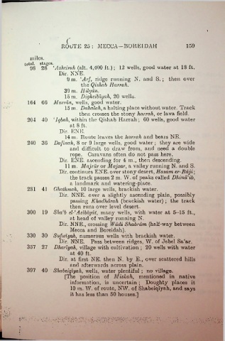
                               ROUTE 25: MECCA—BORE1DAH                                     159

                miles.
             total, stages.
                9S 28 ‘Asheirah (alt. 4,400 ft.); 12 wells, good water at 18 ft.
                              Dir. NNE.
                                  9 m. Dir/, ridge running N. and S. ; then over
                                         the Qishab Hurrah.
                                 39 m. Ililyan.
                                 15 m. Digheibiyah, 20 wells.
               164  66 Marrdn, wells, good water.

                                 15 in. Dahalah, a halting place without water. Track
                                        then crosses the stony hurrah, or lava field.
              204 40  ‘Iqbah, within the Qishab Harrah ; 60 wells, good water
                                   at 8 ft.
                              Dir. ENE.
                                 14 in. Route leaves the harrah and bears NE.
              240  36 Daflnah, 8 or 9 large wells, good water ; they are wide
                                   and difficult to draw from, and need a double
                                   rope. Caravans often do not pass here.
                              Dir. ENE. ascending for 4 in., then descending.
                                 11 in. Majrur or Majzar, a valley running N. and S.
                              Dir. continues ENE. over stony desert, Hazavi er-Bdji;
                                   the track passes 2 m. W. of peaks called Dhind’ib,
                                   a landmark and watering-place.
              2S1  41 Ghathmah, 10 large wells, brackish water.
                              Dir. NNE. over a slightly ascending plain, possibly
                                   passing Khadhdrah (brackish water) ; the track
                                   then runs over level desert.
              300  19 Sha'b el-1 Aslblydt, many wells, with water at 5-15 ft.,
                                   at head of valley running N.
                              Dir. NNE., crossing Wadi Shabrdm (half-way between
                                   Mecca and Boreidah).
              330  30 Sufwiyah, numerous wells with brackish water.
                              Dir. NNE. Pass between ridges, W. of Jebel Sa£ar.
              357  27 Dhariyah, village with cultivation ; 20 wells with water
                                   at 40 ft.

                              Dir. at first NE. then N. by E., over scattered hills
                                   and afterwards across plain.
              397  40 Shabeiqlyah, wells, water plentiful ; no village.
                                 [The position of Miskah, mentioned in native
                                   information, is uncertain ; Doughty places it
                                   10 m. W. of route, NW. of Shabeiqlyah, and says
                                   it has less than 50 houses.]


                                                                       • •••                                 *»\
                                                                           • : > . \ •
                                                                                                         «:*  ;-:x:

