Page 508 - A Hand Book of Arabia Vol 2_Neat
P. 508
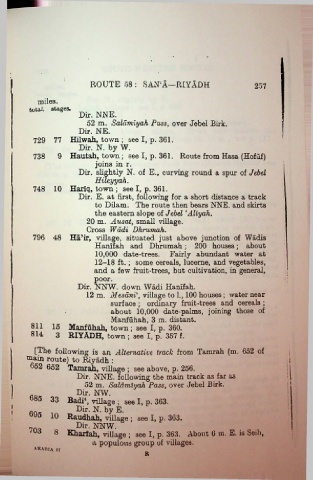
ROUTE 58 : SANA—RIYADH                                    257

              miles.
           total, stages.
                            Dir. NNE.
                               52 m. Saldmiyah Pass, over Jebel Birk.
                            Dir. NE.
             729 77 Hilwah, town ; see I, p. 361.
                            Dir. N. by W.

             738     9 Hautah, town; see I, p. 361. Route from Hasa (Hofuf)
                                  joins in r.
                            Dir. slightly N. of E., curving round a spur of Jebel
                                  Hileyyah.
            748  10 Hariq, town ; see I, p. 361.
                            Dir. E. at first, following for a short distance a track
                                  to Dilam. The route then bears NNE. and skirts
                                  the eastern slope of Jebel ‘Aliyah.
                               20 m. Ausat, small village.
                               Cross Wadi Dhrumah.
            796  48 Ha’ir, village, situated just above junction of Wadis
                                  Hanifah and Dhrumah;  200 houses; about
                                  10,000 date-trees. Fairly abundant water at
                                  12-18 ft.; some cereals, lucerne, and vegetables,
                                  and a few fruit-trees, but cultivation, in general,
                                  poor.
                            Dir. NNW. down Wadi Hanifah.
                               12 m. Mesdni\ village to 1., 100 houses ; water near
                                       surface ; ordinary fruit-trees and cereals ;
                                       about 10,000 date-palms, joining those of
                                       Manfuhah, 3 m. distant.
            811    15 Manfuhah, town; see I, p. 360.
            814     3 RIYADH, town ; see I, p. 357 f.

             [The following an Alternative track from Tamxah (m. 652 of
          main route) to Riyadh :
           652 652 Tamrah, village ; see ab°ve’P'. “  ' k as far as
                            Dir. NNE. following the mam tracK.
                              52 m. Saldmiyah Pass, over Jebel                                        i
                           Dir. NW.
           685 33 Badi‘, village ; seel, p. JW-
     I                     Dir. N. by E.
     !
           695  10 Raudhah, village ; see I, P-
                           Dir. NNW.                              About 6 iu. E. is Seih,
           703      8 Kharfah, village ; see I, p-3b3; About                                          i

                                 a populous group of villages.
             ARAHIA II
                                                   R

