Page 544 - A Hand Book of Arabia Vol 2_Neat
P. 544
I
J
ROUTE 62: ADEN—YERDI 275
\
:
!
ROUTE 62
ADEN—MUSEMIR—TATZZ—IBB—YERiM
Authorities: Aden Mil. Report, compared with Manzoni, 1877-80 (Musemir to
Ta‘izz). Manzoni, 1877-80, Niebuhr, 1762, Military Report on Arabia,
compared with and supplemented by Aden Mil. Report (Ta'izz to Yerim).
Altitudes throughout the route are taken from Lt-.-Col. Maunsell’s map.
General Direction : NW. to Ta‘izz ; NE. by N. to Yerim.
Distance : Crow-fly, 116 miles ; road, 194 miles.
Character and Supplies: see p. 68.
miles.
total, stages.
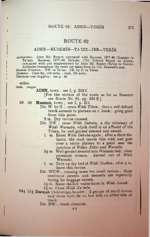
ADEN, town ; see I, p. 203 f.
[For the section of the route as far as Musemir
see Route No. 61, pp. 265 ff.j
58 58 Musemir, town; see I, p. 211.
Dir. W. by N.; cross Wadi Tiban ; then a well-defined
track ascends to plateau on r. bank ; going good
from this point. :
2 m. Dry ravine crossed. : i
Dir. NW. ; cross Wadi Dabuka, a dry tributary of
:
Wadi Warazan, which itself is an affluent of the
Tiban, by well-graded descent and ascent.
1 m. Enter Wadi Dabuka again ; after a short dis
tance, the road leaves this wadi and goes
over a stony plateau to a point near the
junction of Wadis Fakir and Warazdn.
3i m. Well-graded descent into Warazan bed ; clear
perennial stream. Ascend out of Wadi
Warazan.
1 m. Turn up dry bed of Wadi Nashim; after i m.
leave this ravine.
Dir. WNW., crossing some ten small ravines ; these
continual ascents and descents are especially
trying for baggage camels,
li m. Some shallow water-holes in Wadi Juivah.
H m. Cross Wadi Na'man.
69^ 1H Darajah (Addareja), hamlet ; 2 groups of small towers
and stone huts lie on low hills on either side of
track.
Dir. NW.; track descends.
s 2

