
Page 13 - Vol. 1 Walks In The Black Range - 2nd Edition
P. 13
wash to the east and joins a mining road which traverses the hill slope to a pass, from there the route is cross-country until it joins the main road up the canyon for the return to the gate. The usual suspects are on-the-scene; rattlesnakes, Coyote, and Cougar are all possible - but not likely.
There are “active” mines along this route, in addition to abandoned adits and pits, all are dangerous.
In season, this is an excellent walk for wildflowers and birds.
2. East Slope - North Wicks Canyon
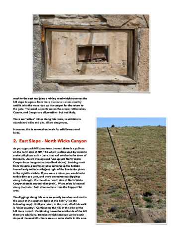
As you approach Hillsboro from the east there is a pull-out on the north side of NM-152 which is often used by locals to make cell phone calls - there is no cell service in the town of Hillsboro. An old mining road runs up into North Wicks Canyon from the gate (as described above). Looking north from the gate a prominent dike running up the hillside immediately to the north (just right of the line in the photo to the right) is visible. If you were a miner you would refer to this dike as a vein, and there are numerous diggings along its length. On the other (west) side of North Wicks Canyon there is another dike (vein). Wicks mine is located along that vein. Both dikes radiate from the Copper Flat area.
The diggings along this vein are mostly trenches and start in the wash at the southern base of this hill (“C” on the following map). Until you return to the road, all of this walk is “cross-country”. Continue up the hill, at the crest of the hill there is shaft. Continuing down the north side of the hill there are additional trenches which continue up the south slope of the next hill - there are also some shafts in this area.
