
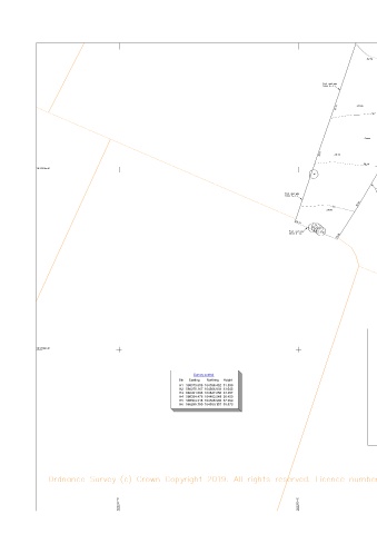
Page 104 - Eden Meadow 35 houses application as of 12 October
P. 104
Copyright 2018 Hook Survey Partnership
C
The Copyright of these Plans shall remain vested with Hook Survey Partnership who will grant an
irrevocable licence for use by the Client once payment has been received in full. No Third Party
may use the plans even if payment has been made to the Client but not received by the Company.
Please see our terms and conditions of supply at www.hooksurvey.com for further details.
Hook Survey Legend
Hedge Telephone line
Undergrowth Power line
Tree Banking
Bush Contour line
Building Survey Station
Glass Building Gate
Indicative
Open Building Level
Ordnance Survey Benchmark
Foul Drainage
Storm Drainage
Abbreviations
Animal Sett Sett
Air Valve AV
Borehole BH
Bus Stop BS
Cover Level CL
Earth Rod ER
Electricity Pole EP
Fire Hydrant
FH
Inspection Cover IC
Invert Level IL
Lamp Post LP
Manhole MH
Marker MK
Name Plate RNP
Power Pole PP
Rain water Pipe RWP
Road Sign RS
Rodding Eye RE
Reinforced Steel Joint RSJ
Soil Vent Pipe SVP
Stop Valve SV
Survey Station STN
Telegraph Pole TP
Tree Stump Stump
Trial Hole TH
Unable To Lift UTL
Vent Pipe VP
Water Valve WV
Metres
0 5 10
Scale
Notes
All trees are identified where possible.
Sheet Layout Species, spread, height and girth
are indicative only.
Drainage has been surveyed where found,
1 and traced where possible.
Eaves and ridge heights of surrounding buildings
have been surveyed where possible.
2
Ordnance Survey Digital data added and shown
in Orange (Pen Colour 30)
Tree Schedule HOOK SURVEY
1 Fruit d=0.2 h=7
2 Fruit d=0.2 h=7
3 Oak d=0.7 h=16 PARTNERSHIP
4 Oak d=0.7 h=16
5 Sycamore d=0.8 h=12
6 Fruit d=0.1 h=6 Land & Building Surveyors
7 Fruit d=0.1 h=6 www.hooksurvey.com
8 Fruit d=0.1 h=6
9 Fruit d=0.1 h=6
10 Fruit d=0.1 h=6 Project :
11 Fruit d=0.2 h=7 Land to Rear of Eden Meadow / Ellens
Survey control
12 Fruit d=0.2 h=7
Stn Easting Northing Height 13 Fruit d=0.2 h=7 Place, High Street, Newington, ME9 7JJ
14 Fruit d=0.2 h=7
H1 586375.606 164596.452 31.586 15 Oak d=0.6 h=12 Client :
H2 586375.167 164566.833 33.045 16 Oak d=0.6 h=12
H3 586421.506 164547.255 33.257 17 Fruit d=0.2 h=7 Esquire Developments Limited
H4 586384.476 164483.549 36.450 18 Fruit d=0.2 h=7
H5 586304.318 164506.902 37.369 19 Fruit d=0.3 h=8
H6 586295.780 164559.107 35.573 20 Fruit d=0.3 h=9 Drawing title :
21 Fruit d=0.25 h=8
22 Fruit d=0.25 h=8
23 Fruit d=0.25 h=8 Topographical Survey
24 Fruit d=0.25 h=8
25 Fruit d=0.2 h=7
26 Fruit d=0.2 h=7 Job No. : Dwg No. : Revision :
27 Fruit d=0.2 h=7 S18/7037 S18/7037/02 -
28 Fruit d=0.2 h=7 Scale : Date : Drawn by :
29 Fruit d=0.2 h=7 1:200 March 2019 D.S.
30 Fruit d=0.2 h=7
Grid & Levels related to :
Ordnance Survey (OSGB36) coordinate system and level data
defined by Geoid model OSTN15, based around 2 survey stations
H1 & H2 with a scale factor of 1.00000
Head Office
Unit 1, Bybow Farm
Orchard Way
Dartford, Kent
DA2 7ER
Email > mail@hooksurvey.com
Tel > 01322 277221
Midlands Office
42 Hanson Avenue
Shipston-on-Stour
Warwickshire
CV36 4HS
Email > midlands@hooksurvey.com
Tel > 01608 523118
www.hooksurvey.com