
Page 63 - Green - Maritime Archaeology: A Technical Handbook. 2nd ed
P. 63
42 Maritime Archaeology: A Technical Handbook, Second Edition
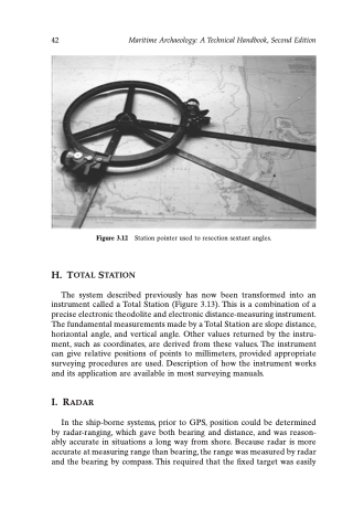
Figure 3.12 Station pointer used to resection sextant angles.
H. TOTAL STATION
The system described previously has now been transformed into an instrument called a Total Station (Figure 3.13). This is a combination of a precise electronic theodolite and electronic distance-measuring instrument. The fundamental measurements made by a Total Station are slope distance, horizontal angle, and vertical angle. Other values returned by the instru- ment, such as coordinates, are derived from these values. The instrument can give relative positions of points to millimeters, provided appropriate surveying procedures are used. Description of how the instrument works and its application are available in most surveying manuals.
I. RADAR
In the ship-borne systems, prior to GPS, position could be determined by radar-ranging, which gave both bearing and distance, and was reason- ably accurate in situations a long way from shore. Because radar is more accurate at measuring range than bearing, the range was measured by radar and the bearing by compass. This required that the fixed target was easily
