
Page 593 - The ROV Manual - A User Guide for Remotely Operated Vehicles 2nd edition
P. 593
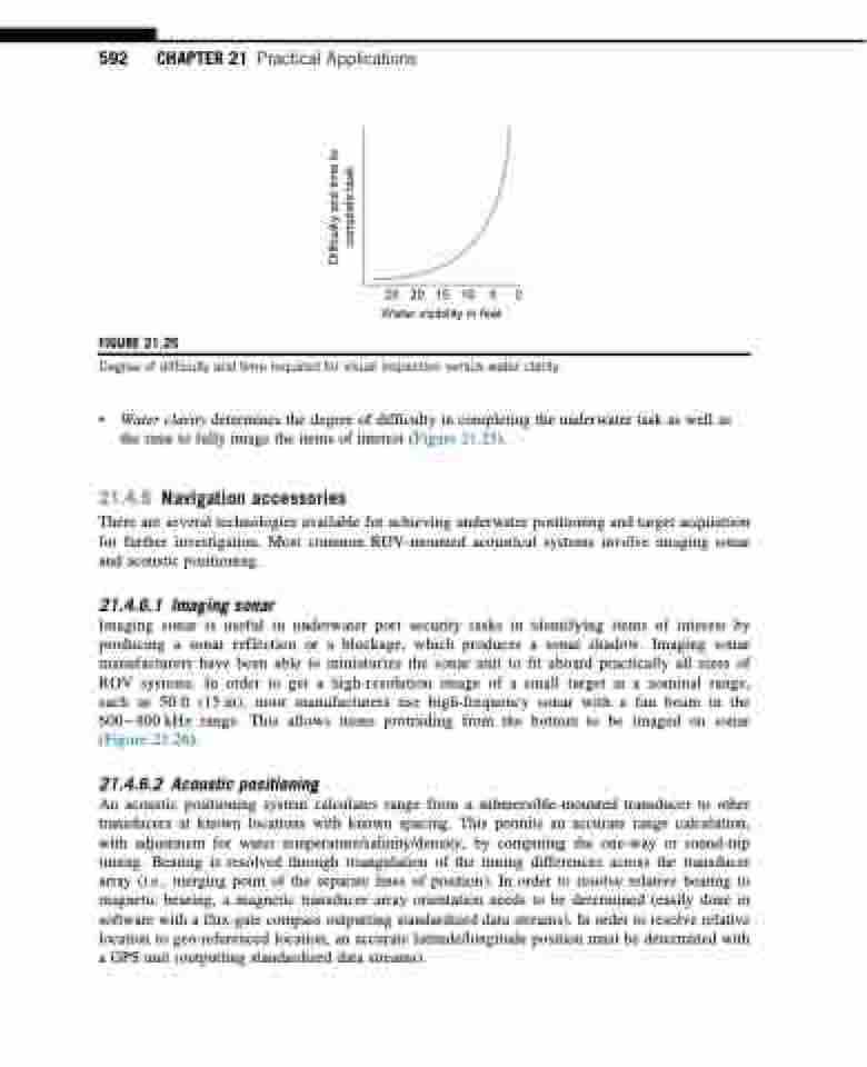
  592 CHAPTER 21 Practical Applications
 FIGURE 21.25
25 20 15 10 5 0 Water visibility in feet
 Degree of difficulty and time required for visual inspection versus water clarity.
• Water clarity determines the degree of difficulty in completing the underwater task as well as the time to fully image the items of interest (Figure 21.25).
21.4.6 Navigation accessories
There are several technologies available for achieving underwater positioning and target acquisition for further investigation. Most common ROV-mounted acoustical systems involve imaging sonar and acoustic positioning.
21.4.6.1 Imaging sonar
Imaging sonar is useful in underwater port security tasks in identifying items of interest by producing a sonar reflection or a blockage, which produces a sonar shadow. Imaging sonar manufacturers have been able to miniaturize the sonar unit to fit aboard practically all sizes of ROV systems. In order to get a high-resolution image of a small target at a nominal range, such as 50 ft (15 m), most manufacturers use high-frequency sonar with a fan beam in the 600800 kHz range. This allows items protruding from the bottom to be imaged on sonar (Figure 21.26).
21.4.6.2 Acoustic positioning
An acoustic positioning system calculates range from a submersible-mounted transducer to other transducers at known locations with known spacing. This permits an accurate range calculation, with adjustment for water temperature/salinity/density, by computing the one-way or round-trip timing. Bearing is resolved through triangulation of the timing differences across the transducer array (i.e., merging point of the separate lines of position). In order to resolve relative bearing to magnetic bearing, a magnetic transducer array orientation needs to be determined (easily done in software with a flux-gate compass outputting standardized data streams). In order to resolve relative location to geo-referenced location, an accurate latitude/longitude position must be determined with a GPS unit (outputting standardized data streams).
Difficulty and time to complete task
