
Page 129 - Divyank Tyagi
P. 129
|
ModeliNG siTe coNTexT 95
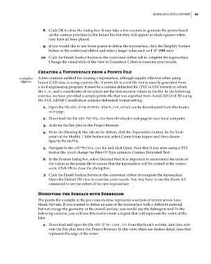
8. Click OK to close the dialog box. It may take a few seconds to generate the points based
on the contour polylines in the linked file, but they will appear as black squares when
they have all been placed.
9. If you would like to use fewer points to define the toposurface, click the Simplify Surface
button in the contextual ribbon and enter a larger value such as 1’-0″ (300 mm).
10. Click the Finish Surface button in the contextual ribbon tab to complete the toposurface.
Change the visual style of the view to Consistent Colors to examine your results.
Creating a Toposurface from a points File
Certification A less-common method for creating a toposurface, although equally effective when using
Objective linked CAD data, is using a points file. A points file is a text file that is usually generated from
a civil engineering program. It must be a comma-delimited file (TXT or CSV format) in which
the x-, y-, and z-coordinates of the points are the first numeric values in the file. In the following
exercise, we have provided a sample points file that was exported from AutoCAD Civil 3D using
the XYZ_LIDAR Classification (comma-delimited) format setting:
1. Open the file c03-Site-Points-Start.rvt, which can be downloaded from this book’s
web page.
2. Download the file c03-Points.csv from this book’s web page to your local computer.
3. Activate the Site plan in the Project Browser.
4. From the Massing & Site tab on the ribbon, click the Toposurface button. In the Tools
panel of the Modify | Edit Surface tab, select Create From Import and then choose
Specify Points File.
5. Navigate to the c03-Points.csv file and click Open. Note that if you were using a TXT
format file, you’d change the Files Of Type option to Comma Delimited Text.
6. In the Format dialog box, select Decimal Feet. It is important to understand the units of
the values in the points file to ensure that the toposurface will be created at the correct
scale. Click OK to close the dialog box.
7. Click the Finish Surface button in the contextual ribbon to complete the toposurface.
Open the Default 3D view to examine your results. You may have to use the Zoom All
command to see the extent of the new toposurface.
Modifying the Surface with Subregion
The points file example in the previous exercise represents a section of terrain across Lake
Mead, Nevada. If you wanted to define an area of the toposurface with a different material
but not change the geometry of the overall surface, you would use the Subregion tool. In the
following exercise, you will use this tool to create a region that will represent the water of the
lake:
1. Download and open the file c03-Site-Lake.rvt from this book’s website, and then acti-
vate the Site plan from the Project Browser. In this view, there are dashed detail lines that
represent the edge of the water.
c03.indd 95 5/3/2014 10:31:05 AM