
Page 17 - SELECTA • 3M SELLING GUIDE for 3M Distributors
P. 17
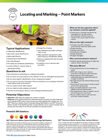
Locating and Marking – Point Markers


                                                                                What are the key segments where
                                                                                our solutions could be applied?
                                                                                •  Construction, industrial manufacturing,
                                                                                 renewable, mining, data centers,
                                                                                 petrochemical, infrastructure and
                                                                                 transportation, power/gas/tel/water
                                                                                 utilities
                                                                                Who are the right contacts?
                                                                                •  Damage prevention managers/
                                                                                 environmental health and safety (EHS)
        Typical Applications              • Foreign line crossing               • Project directors
                                          •  User addresses association with gas/  • General contractors
        • Cable/pipe identification         water valves                        • Outside plant managers
        • Gas/water valves identification  •  Meet regulatory requirements with  • Design engineers
        • Splice identification             radio frequency identification (RFID)  • Program managers
        • Squeeze joints identification   •  Enhance mapping with real-time data  Why recommend point markers?
        • Duct identification               in the field                        •  Identify specific points along the utility like
        •  Pull boxes and handholes identification  •  Installation and/or network data  a splice, valve or handhole.
        • Locates utilities in need of repair or   recording                    Why does 3M win?
         abandoned utilities                                                    •  Precise identification of the underground
                                                                                 assets
        Questions to ask                                                        •  RFID technology to store relevant
        • How important is protecting your underground assets?                   information and identify cable and pipes
                                                                                •  Radio frequency (RF)/EMS passive
        •  Do you know the exact position of the utilities? Or can you distinguish among them?  technology does not require the need for
        • Do you have need for identification of your underground assets?        charges or batteries
        •  Do you want to have the information that you need about your underground/buried  •  Multiple frequencies differentiating among
                                                                                 the utilities
          asset without need of excavation?                                     •  Use of low RF frequencies to achieve depth
        • Do you need to locate older repairs?                                   of 8 to 9 feet below grade
        • Do you need to locate underground valves?                             •  Sizes and depth adapted to most of the
                                                                                 different network requirements
        • How do you find splices, valves or other underground/buried parts?    •  Self leveling technology to simplify the use
                                                                                 and follow ground movements
        Potential Objections                                                    •  Proven reliable solution with more than
                                                                                 50 million markers installed
        •  Objection: GPS data can replace the need for a marker.
          Response: GPS systems that allow centimeter grade accuracy are quite expensive
          and a standard GPS system does not give accurate readings like markers can. Our
          3M™ Electronic Marker System Extended Range Ball Markers and 3M™ Electronic
          Marker System Extended Range Near-Surface Markers have a signal strength that is
          strong over the center of the marker and allow for precise location.

        Potential 3M Solutions


        3M™ Electronic Marker System Extended Range Ball Markers   3M™ Electronic Marker System Near-Surface Markers
        These markers provides an effective way of accurately marking underground   These markers are specially designed for marking underground facility
        facility lines such as flush mounted facilities that are covered by backfill. It   lines accurately during construction or maintenance applications. This
        features a self-leveling design for precise and horizontal positioning. This   waterproof near surface marker has a long lasting passive antenna,
        passive underground marker with a water-resistant polyethylene shell does not   encased in a waterproof shell to identify underground facilities with their
        react with chemicals or minerals. This ball marker effectively operates without   exact location, even in congested areas. It comes in a cylindrical shape,
        the need for any external power source.                    allowing for easy installation in asphalt or concrete, without extensive
                                                                   digging.
                                                                                                                17
        Visit 3M.com/dynatel to learn more.