
Page 130 - SB_G5.2_M6-10_Flip
P. 130
DO NOT EDIT--Changes must be made through “File info”
CorrectionKey=TX-B;NL-B
myNotes
23 This is more complicated than it sounds. Signals from the rover, such as
a photo of a dangerous ditch in her path, took ten minutes to reach Earth.
Commands back to the rover, like “STOP!,” took another ten minutes.
Driving a rover is not like playing a video game—you can’t just move your
joystick and watch the rover obey. Instead, rover drivers carefully study the
terrain ahead of time so they can safely map out the rover’s moves.
Roughly once a day, the team gets photos of the rover’s surroundings, and
about once a day, they send commands that tell the rover what to do.
24 Spirit crept along, with her drivers correcting her direction daily. It
took three days, but finally she pointed her tools directly at the rock.
25 Would she find signs of water?
26 “We haven’t heard anything from the spacecraft all day,” Jennifer
Trosper, the mission manager, told Steve the day they were set to use the
RAT (rock abrasion tool) on the rock. They kept trying.
27 “Earth to Spirit.”
28 Silence.
29 “Earth to Spirit. Come in Spirit!”
30 Lead engineer Pete Theisinger called all the mission managers and
flight directors on the team into the conference room. Ideas flew. Maybe
Spirit had shut herself down to cool off. Maybe her batteries were too
low. Maybe the software had failed. Steve held on to one hope: maybe
Spirit would phone home the next day as if nothing had gone wrong.
terrain The terrain of an area is what the surface of the land looks like.
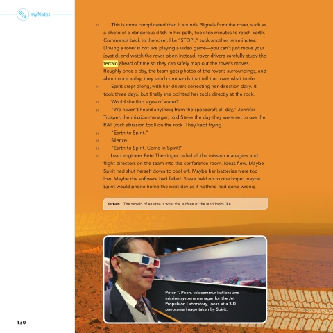
Peter T. Poon, telecommunications and
mission systems manager for the Jet
Propulsion Laboratory, looks at a 3-D
panorama image taken by Spirit.
130