
Page 23 - RMAI Bulletin July - September 2021
P. 23
RMAI BULLETIN JULY TO SEPTEMBER 2021
disaster management plans. This information may be
shared with customers of the Insurance Companies
first and also with the professionals viz. Architects/
Structural Engineers/ Industry bodies/Disaster
Management Institutes/NGOs etc and also general
public. It would be a great service to the nation.
Regulator can play a vital role by publishing informative
reports and circulating them to all concerned and
thereafter interacting with them proactively. This
would certainly increase reputation of the Insurance
Industry.
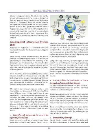
Geographical Information System
calamities. Asset owners can take informed decision on
(GIS) location of the property, designing the structure loss
Reference was made to GIS as a tool which is must for prevention and business continuity. Insurance
Insurance Industry for Risk Assessment, Marketing and companies face a risk when it comes to charging an
much more. optimum premium amount to their customers in
cyclone-prone areas. This is primarily due to the lack
Under remote sensing technologies with the help of of a scientifically proven data source.
satellites, it has become possible for us to monitor our
planet and gain critical information pertaining to the Using GIS-based solutions, insurance agencies can
topography and climate data. Over the years, this data identify the probability and intensity of cyclones to
has become prevalent in determining as well as determine insurance coverage and charge asset
predicting natural calamities for property protection owners the appropriate premiums. These logical, data-
and development. driven premium values, in turn, encourage more asset
owners to opt for risk insurance for tropical cyclones.
GIS is now being extensively used to predict natural This is a win-win situation for both the insurer and the
disasters. Initially used to accumulate land data, GIS insured.
technology is now being increasingly integrated into
risk assessment software. GIS uses its vast database Y Use GIS data in real-time to track
and mathematical algorithms to analyze spatial tropical cyclones and their impact
locations and portrays the output in visual data.
GIS is not only useful pre-disaster but even after that.
Insurance companies can use GIS to trace a cyclone in
This data is spread over maps so patterns and
real-time to understand its path.
relationships can be assessed. With the help of this
data, different zones can be created over a map By overlapping information of the insured with the
depending on the potential risk they possess from damage caused by the cyclone over a map, the insurer
calamities like floods, landslides, and cyclones. These can get a clear idea of the number of claims expected.
zones can be strengthened against the threats they This will help the company to be well-prepared in the
may encounter by implementing the necessary pre- disbursement process and provide relief to the insured.
disaster strategies. GIS is used for risk assessment
because of its near-accurate capability of predicting
The insured will appreciate this action taken by the
natural phenomenon's like storms, cyclones, and insurer of swiftly disbursing the funds, helping them
floods.
rebuild their assets, and getting the business back on
track as soon as possible.
Y Identify risk potential for assets in
cyclone-prone areas Y Emergency planning:
Asset owners in risk-prone areas insure their Natural disaster impacts most part of the globes and
properties against damage caused due to natural the destructions caused by them are inevitable, and
21