Page 610 - A Hand Book of Arabia Vol 2_Neat
P. 610
(


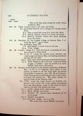
             308                        .SOUTHERN ROUTES

                miles.
             total, stages.
                                            The track then goes along the sandy beach
                                         of Qamar Bay.
              258 22 Tabut, hamlet about 1 m. from the shore.

                              Dir. gradually bears E. of N., along a low-lying coastal
                                   plain.
                                  2 m. Pass a small hill some 3 m. from the shore.
                                  2 m. Heirut, hamlet, about 1 m. from the shore.
                                 14 m. Hard’iq, hamlet, about the same distance
                                         from the shore.
              278 20 Ghaiclhah (2), the largest tillage on Qamar Bay, 1 m.
                                   from the shore ; good water.
                              Dir. gradually bears NE.
                                  7 m. Qabr Qailiil, a tomb close to the sea.
                                3£ m. ‘Irub, village.
              301  23 Jauhari, village 3 m. from the beach, consisting of a few
                                   huts around a white tomb.
                              Dir. E. by N. across the narrow plain between the
                                   ‘Atub range and Qamar Bay, traversing occasional
                                   patches of soft sand.
                               101 m. Fatk\here mountains approach close to thesea.
                                21 m. Wadi Shaghwiit, between the ‘Atiib and Fatk
                                         ranges, is crossed ; near its mouth is a small
                                         hamlet with some cultivation.
              327 2G Damqut, small seaport at the eastern extremity of Qamar
                                   Bay ; it lies in an irregular plain about a mile
                                   square, bounded on all the land sides by almost
                                   inaccessible mountains; pop. 400; 90 mud-houses.
                                   Shark-fishing and a small export trade in glii, hides,
                                   and gum are carried on. The place marks the j
                                   eastern limit of the Hahrah tribe.

                              Dir. EXE., along the coast known as Seilikot, the
                                   ground over which the route passes descending
                                   from the Jebel Qamar range to the shore in broad
                                   shelves covered with grass and trees.
                               101 m. Juddb, village built under some rocks.
                                21 m. Hauf, village and tower.
                                5.1 m. Dharbah ‘Ali, hamlet near headland of the
                                         same name.
                               111m. Thalfbt, date-grove.
                                  0 m. Kharifdt. village; see I, p. 2S1.
                                            The route here enters D ho far territory.

