
Page 3 - 2016_ERDAS_IMAGINE_BROCHURE_HexGeo_Print_Neat
P. 3
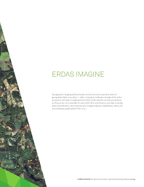
ERDAS IMAGINE


                                             Geographic imaging professionals need to process vast amounts of
                                             geospatial data every day — often relying on software designed for other
                                             purposes and add-on applications that create almost as many problems
                                             as they solve. Is it possible to save both time and money, leverage existing
                                             data investments, and improve your image analysis capabilities, with just
                                             one software application? Yes, it is…


                                                                  3 | ERDAS IMAGINE The world’s most widely-used remote sensing software package