
Page 1373 - Dive the Seas and More-2
P. 1373
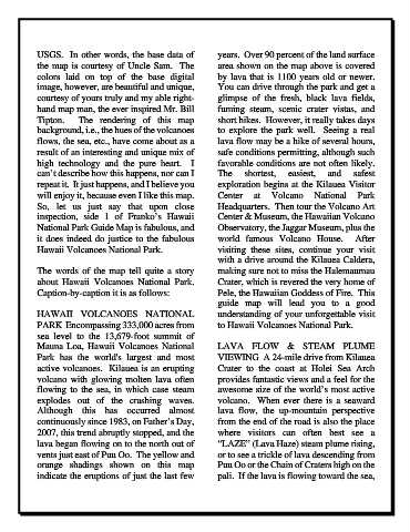
USGS.  In other words, the base data of               years.  Over 90 percent of the land surface
            the map is courtesy of Uncle Sam.  The                area shown on the map above is covered
            colors laid on top of the base digital                by lava that is 1100 years old or newer.
            image, however, are beautiful and unique,             You can drive through the park and get a
            courtesy of yours truly and my able right-            glimpse of the fresh, black lava fields,
            hand map man, the ever inspired Mr. Bill              fuming steam, scenic crater  vistas, and
            Tipton.  The rendering of this map                    short hikes.  However, it really takes days
            background, i.e., the hues of the volcanoes           to explore the park  well.   Seeing a real
            flows, the sea, etc., have come about as a            lava flow may be a hike of several hours,
            result of an interesting and unique mix of            safe conditions permitting, although such
            high technology and the  pure  heart.    I            favorable conditions are not often likely.
            can’t describe how this happens, nor can I            The     shortest,    easiest,    and    safest
            repeat it.  It just happens, and I believe you        exploration begins at the Kilauea Visitor
            will enjoy it, because even I like this map.          Center at Volcano National Park
            So,  let  us  just  say  that  upon  close            Headquarters.  Then tour the Volcano Art
            inspection, side 1  of Franko’s Hawaii                Center & Museum, the Hawaiian Volcano
            National Park Guide Map is fabulous, and              Observatory, the Jaggar Museum, plus the
            it does indeed do justice to the fabulous             world famous Volcano House.   After
            Hawaii Volcanoes National Park.                       visiting these  sites,  continue your visit
                                                                  with a drive around the Kilauea Caldera,
            The words of the map tell quite a  story              making sure not to miss the Halemaumau
            about  Hawaii  Volcanoes  National  Park.             Crater, which is revered the very home of
            Caption-by-caption it is as follows:                  Pele, the Hawaiian Goddess of Fire.  This
                                                                  guide map will lead you to a good
            HAWAII VOLCANOES NATIONAL                             understanding of your unforgettable visit
            PARK  Encompassing 333,000 acres from                 to Hawaii Volcanoes National Park.
            sea  level  to the 13,679-foot summit of
            Mauna Loa, Hawaii Volcanoes National                  LAVA FLOW  & STEAM PLUME
            Park has the world's largest and  most                VIEWING  A 24-mile drive from Kilauea
            active volcanoes.  Kilauea is an erupting             Crater to the coast at Holei Sea Arch
            volcano with glowing molten lava often                provides fantastic views and a feel for the
            flowing to the sea, in which case steam               awesome size of the world’s most active
            explodes out of the crashing waves.                   volcano.   When ever there is  a seaward
            Although this has occurred almost                     lava flow, the up-mountain perspective
            continuously since 1983, on Father’s Day,             from the end of the road is also the place
            2007, this trend abruptly stopped, and the            where visitors can often best see  a
            lava began flowing on to the north out of             “LAZE” (Lava Haze) steam plume rising,
            vents just east of Puu Oo.  The yellow and            or to see a trickle of lava descending from
            orange  shadings  shown  on  this  map                Puu Oo or the Chain of Craters high on the
            indicate the eruptions of just the last few           pali.  If the lava is flowing toward the sea,