Page 448 - A Hand Book of Arabia Vol 2_Neat
P. 448
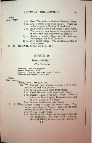
ROUTE 40 : IBHA—MUHA’IL                                   227


           miles.
        total, stages.
                             3 m. Him Thuwwah, a ruined and deserted village.
                             3 m. Ida, a small stone-built village. Water has
                                     to be brought a distance of two hours.

                             1 m. Hafir, small stone-built village ; good water.
                                    The country now becomes more fertile, and
                                    there is frequent cultivation to Muha’il.
                            24 m. Butuh, a small village and the last one
                                     belonging to the Beni Thuwwah.

                            44 m. Dirs, small village. The A1 Musa country is
                                     now entered.
           64 18 MUHA’IL, town ; see I, p. 142 f.
   !


                                         ROUTE 46
  i
                                      IBHA—MUHA’IL

                                         (Via Sheibein)

                      Authority : Native information.
                      General Direction : NNW.
                      Distance : Crow-fly, 53 £ miles ; road, 72 miles.
                      Character and Supplies : see p. 54 f.
                                                                                                    i
          miles.
       total.  stages.                                                                              i
                      IBHA, town; see I, p. 142.

                         Dir. W., through Beni Mugheid country over a well-
                              cultivated and level plateau.
                             6 m. Shebdrijah, small stone-built- village.
                             1  m. Umm Shalirah, small stone-built village.
                             3 m. Badlali, small stone-built village.            After 2
                                    miles the Beni Mugheid boundary ends, and
                                    that of ‘Alqam el-Hid begins.
                             3 m. Ghcirwa, small stone-built village.
          19
                19 Suda, a large village of about 250 stone houses. This
                              is the last village of ‘Alqam el-Hfil. and the road
                              enters Rabi'ah wa Rufeidah territory.
                             2  m. Teihan, small village.
                             1 m. Sharaf, small village and the last of Rabi'ah
                                    wa    Rufeidah; the Rijal cl-M’a country
                                    (Beni Qutabah) is now entered. Sharaf is
                                                P 2

