Page 452 - A Hand Book of Arabia Vol 2_Neat
P. 452

i
                             ROUTE 47 : IBHA—WAHLAH                                     229


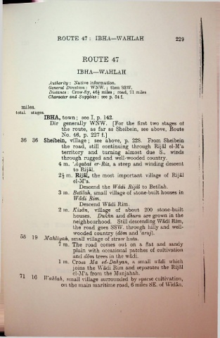
                                          ROUTE 47


                                       IBHA—WAHLAH

                         Authority : Native information.
                         General Direction : WNW. ; then SSW.
                         Distance : Crow-fiy, 464 miles ; road, 71 miles
                         Character and Supplies : see p. 54 f.

           miles.
         total, stages.
                       IBHA, town; see I, p. 142.
                                                                                                    i
                          Dir generally WNW. [For the first two stages ot
                               the route, as far as Sheibein, see above, Route
                               No. 46, p. 227 f.]
           36 36 Sheihein, village ; see above, p. 22S. From Sheibein
                               the road, still continuing through Rijal el-M‘a
                                                                                                    i
                               territory and turning almost due S., winds
                               through rugged and well-wooded country.
                              4 m. ‘Aqabat er-Riz, a steep and winding descent
                                     to Rijal.                                                     i
                              2i m. Rijal, the most important village of Rijal                     i
                                     el-M:a.
                                        Descend the Wadi Rijal to Betilah.
                              3 m. Betilah, small village of stone-built houses in
                                     Wadi Rim.
                                        Descend Wadi Rim.                                            I
                              2 m. Kisan, village of about 200 stone-built
                                     houses. Dukhn and dhura are grown in the
                                     neighbourhood. Still descending Wadi Rim,
                                     the road goes SSW. through hilly and well-
                                     wooded country (dom and 'aruj).
           oo 19
                       Mahliyah, small village of straw huts.
                              7 m. The road comes out on a flat and sandy
                                     plain with occasional patches of cultivation
                                     and dom trees in the wadi.
                              1 m. Cross Ma ed-Dahijan, a small wadi which
                                     joins the Wadi Rim and separates the Rijal
                         __          el-]M‘a from the Munjahah.
                       II ahlah, small village surrounded by sparse cultivation,
                               on the main maritime road, 6 miles SE. of Widan.
   447   448   449   450   451   452   453   454   455   456   457