Page 450 - A Hand Book of Arabia Vol 2_Neat
P. 450
f (
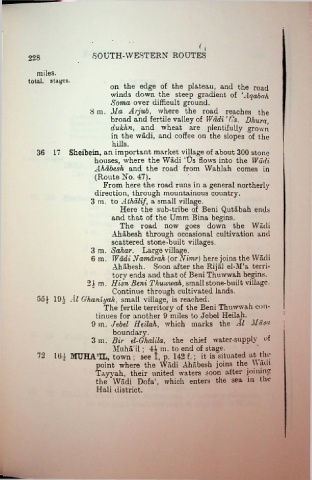
228 SOUTH-WESTERN ROUTES
miles.
total, stages.
on the edge of the plateau, and the road
winds down the steep gradient of ‘Aqabah
Soma over difficult ground.
8 m. Ma Arjub, where the road reaches the
broad and fertile valley of Wadi !i?s. Dhura,
dukhn, and wheat are plentifully grown
in the wadi, and coffee on the slopes of the
hills.
36 17 Sheibein, an important market village of about 300 stone
houses, where the Wadi ;Us flows into the Wadi
Ahabesh and the road from Wahlah comes in
(Route No. 47).
From here the road runs in a general northerly
direction, through mountainous country.
3 m. to Athalif, a small village.
Here the sub-tribe of Beni Qutabah ends
and that of the Umm Bina begins.
The road now goes down the Wadi
Ahabesh through occasional cultivation and
scattered stone-built villages.
3 m. Sahar. Large village.
6 m. Wadi Namarah (or Nimr) here joins the Wadi
Ahabesh. Soon after the Rijal el AT a terri
tory ends and that of Beni Thuwwah begins.
2.jm. Hisn Beni Thuwwah, small stone-built village.
Continue through cultivated lands.
554 194 Al Ghaniyah, small village, is reached.
The fertile territory of the Beni Thuwwah con
I
tinues for another 9 miles to Jebel Heilah. :
9 m. Jebel Heilah, which marks the Al Musa
boundary.
3 m. Bir el-Ghalila, the chief water-supply of
Muha’il; 44 m. to end of stage.
72 164 IVnjHATL, town ; see I, p. 142 f.; it is situated at the
point where the Wadi Ahabesh joins the Wadi
Tayvah, their united waters soon after joining
the Wadi Dofa;, which enters the sea in the
Hali district.

