
Page 151 - Eden Meadow 35 houses application as of 12 October
P. 151
Page 12 11th Setember 2020
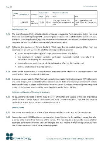
Survey Survey date Surveyor Survey time Weather conditions
no.
Start End Start End
cloud cover, dry ground, no cloud cover, dry ground, no
7 15.04.2020 Kari 15:50 16:20 16°C, light breeze, 0 % 16°C, light breeze, 0 %
Mcsherry
rain
rain
Great crested newt
6.26 The level of survey effort and data collection required to support a Planning Application or European
Protected Species Mitigation (EPSM) Licence for great crested newts is relative to the potential impact.
For EPSM Licence applications, typically ponds within 250m of the construction zone are surveyed for
the presence (and population assessment) of great crested newts.
6.27 Following the guidance of Natural England (2015) waterbodies located beyond 250m from the
development are only surveyed if all of the following conditions are met:
• ponds have potential to support a large great crested newt population;
• the development footprint contains particularly favourable habitat, especially if it
constitutes the majority available locally;
• the development would have a substantial negative effect on that habitat; and
• there is an absence of dispersal barriers.
6.28 Based on the above criteria, a proportionate survey area for the Site includes the assessment of any
ponds within 250m of the construction zone.
6.29 Ordnance survey maps, the Multi Agency Geographic Information for the Countryside (MAGIC) website
and aerial images were used to identify waterbodies within 250m of the survey site boundary. MAGIC
Map was also used to obtain information on locations where European Protected Species Mitigation
(EPSM) Licences have been issued by Natural England within 1km of the Site.
Habitats and Species of Principal Importance
6.30 An assessment was made as to the likely presence of Habitats and Species of Principal Importance
under Section 41 of the Natural Environment and Rural Communities (NERC) Act 2006 and birds on
the Red and Amber lists of birds of conservation concern.
LIMITATIONS
6.31 The survey was conducted at a time of year when some plant species may not be conspicuous.
6.32 In accordance with CIEEM guidance, consideration should be given to the validity of survey data after
a period of 12 month from the date of the survey. This may require a site visit to assess whether
ecological conditions within the site have changed and may require further ecological survey work
due to the transient nature of some protected species.
0444_R02_REV A_ECIA_LAND REAR OF EDEN MEADOWS, NEWINGTON