
Page 15 - TVH 2000 Anniversary Shipwreck Project
P. 15
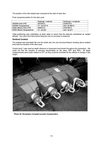
The position of the dive basket was computed at the start of each dive Final computed position for the stern post: WGS84 Grid UTM WGS84 Geographical ED50 (Mean) Grid UTM ED50 (Mean) Geographical Eastings / Latitude 507979.5 51° 29.537 N 508072.9 Northings / Longitude 5704576.9 003° 06.896 E 5704786.9 51° 29.587 Initial positioning was undertaken at slack water to insure that the beacons maintained an upright 003° 06.977 attitude. Any other time tide pushes beacons over so accuracy is lessened. Vertical Control The seabed was essentially flat over the whole site, the only structural feature showing above seabed level was the remains of the stern post. Control point 1 was used as depth reference or temporary benchmark throughout the excavation. We could not find the remains of previous benchmarks on the stern, RP1 and RP2. All depth measurements were made relative to CP1 so they could be corrected for the effects of change in tide height. Photo 40: Sonardyne Compatt acoustic transponders - 13 -
