
Page 288 - Atlas Sea Birds Ver1
P. 288
Year No. harvested
1976 1,879
Shaughnessy (1978)
Sylvia Hill
Coordinates: 25.13 S; 14.85 E
Description: A mainland colony on a rocky and sandy
beach around Sylvia Hill.
Conservation status: Fully protected as it falls within NIM-
PA, with restricted human access. No commercial harvest-
ing of seals takes place at the colony.
Ecotourism: There are guided 4x4 tour operations to Sil-
via Hill, mostly from Lüderitz to Walvis Bay via the dunes
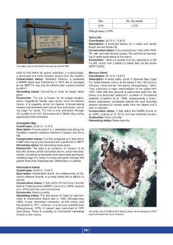
The entry sign to Sandwich Harbour (photo MFMR) (MEFT 2020).
early to mid-1900s for guano collection, a rusting barge, Mercury Island
a graveyard and some wooden beams from the abattoir. Coordinates: 25.72 S; 14.83 E
Conservation status: Sandwich Harbour is protected Description: A steep rocky island in Spencer Bay. Cape
in NNNP, which was Proclaimed in 1979 and is managed Fur Seals became extinct at the island in the 19th century
by the MEFT. It may only be visited under a permit issued following indiscriminate harvesting (Shaughnessy 1984).
by MEFT. They undertook a major recolonisation of the island from
Harvesting status: Harvesting of seals no longer takes 1981–1986 after the removal of permanent staff from the
place. island and displaced substantial numbers of threatened
Ecotourism: The site is known for its unique location, seabirds (Crawford et al. 1989). Subsequently a distur-
where magnificent Namib sand dunes meet the Atlantic bance programme conducted outside the seal breeding
Ocean. It is regularly visited for viewing its breath-taking season successfully ousted seals from the island and it
scenery and terrestrial and marine flora and fauna, includ- was re-manned.
ing Cape Fur Seals. The site is only accessible through Conservation status: It falls within the NIMPA (Currie et
4x4 guided tours from Swakopmund or Walvis Bay during al. 2009, Ludynia et al. 2012) and has restricted access.
appropriate tidal conditions. Ecotourism: None currently.
Harvesting status: None currently.
Conception Bay
Coordinates: 23.92 S; 14.45 E
Description: A sandy beach in a desolated area along the
Namibian coastline between Sandwich Harbour and Silvia
Hill.
Conservation status: It is fully protected as it falls within
NNNP and may only be accessed with a permit from MEFT.
Harvesting status: No harvesting takes place.
Ecotourism: The area is an attraction on account of its
beautiful scenery, which comprises dunes, ocean and ship-
wrecks, as well as its terrestrial and marine flora and fauna,
including Cape Fur Seals. It is only accessible through 4x4
guided tours from Swakopmund, Walvis Bay or Lüderitz.
Hollamsbird Island
Coordinates: 24.63 S; 14.53 E
Description: Hollamsbird Island, the northernmost of Na-
mibia’s offshore islands, is a steep island that is difficult to
access.
Conservation status: It falls within the Namibian Islands’
Marine Protected Area (NIMPA, Currie et al. 2009, Ludynia
et al. 2012) and has restricted access.
Ecotourism: None currently.
Harvesting status: The first record of Cape fur seal har-
vests at Hollamsbird Island was in 1829 (Shaughnessy
1984). A seal harvesting concession at this colony was
first granted in 1971; however, no quota was available then
(Shaughnessy 1978). A harvest was conducted in 1976
(see below). There is currently no commercial harvesting An aerial view of Hollamsbird Island (photo taken during the 2020
of seals at the colony. seals and seabirds aerial census)
282