
Page 407 - Mines Facilities Plan
P. 407
401
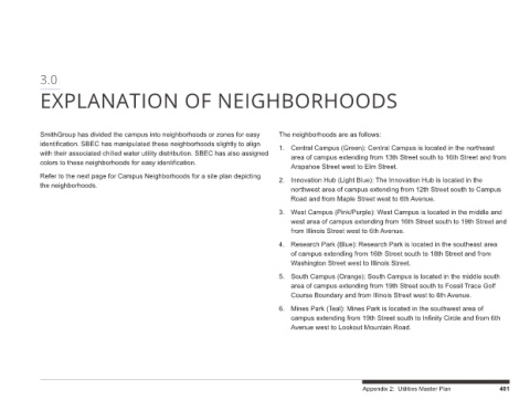
west area of campus extending from 16th Street south to 19th Street and
area of campus extending from 13th Street south to 16th Street and from
West Campus (Pink/Purple): West Campus is located in the middle and
northwest area of campus extending from 12th Street south to Campus
South Campus (Orange): South Campus is located in the middle south
Research Park (Blue): Research Park is located in the southeast area
area of campus extending from 19th Street south to Fossil Trace Golf
Central Campus (Green): Central Campus is located in the northeast
of campus extending from 16th Street south to 18th Street and from
Mines Park (Teal): Mines Park is located in the southwest area of
Innovation Hub (Light Blue): The Innovation Hub is located in the
Course Boundary and from Illinois Street west to 6th Avenue.
campus extending from 19th Street south to Infinity Circle and from 6th Appendix 2: Utilities Master Plan
EXPLANATION OF NEIGHBORHOODS
The neighborhoods are as follows: 1. Arapahoe Street west to Elm Street. 2. Road and from Maple Street west to 6th Avenue. 3. from Illinois Street west to 6th Avenue. 4. Washington Street west to Illinois Street. 5. 6. Avenue west to Lookout Mountain Road.
with their associated chilled water utility distribution. SBEC has also assigned
identification. SBEC has manipulated these neighborhoods slightly to align
SmithGroup has divided the campus into neighborhoods or zones for easy
cation. Refer to the next page for Campus Neighborhoods for a site plan depicting
colors to these neighborhoods for easy identifi
the neighborhoods.
3.0