
Page 25 - NYSAPLS-2023-Conference-Journal_final
P. 25
TUESDAY LEARNING LAB
*ADDITIONAL program offered to registrants
who check-in early on Tuesday*
LIMITED SEATING!
Open to all monumental conference
registrants. First-come, first-served!
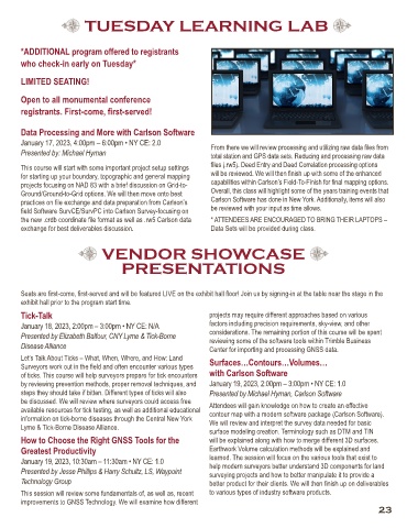
Data Processing and More with Carlson Software
January 17, 2023, 4:00pm – 6:00pm • NY CE: 2.0 From there we will review processing and utilizing raw data files from
Presented by: Michael Hyman total station and GPS data sets. Reducing and processing raw data
This course will start with some important project setup settings files (.rw5). Deed Entry and Deed Correlation processing options
for starting up your boundary, topographic and general mapping will be reviewed. We will then finish up with some of the enhanced
projects focusing on NAD 83 with a brief discussion on Grid-to- capabilities within Carlson’s Field-To-Finish for final mapping options.
Ground/Ground-to-Grid options. We will then move onto best Overall, this class will highlight some of the years training events that
practices on file exchange and data preparation from Carlson’s Carlson Software has done in New York. Additionally, items will also
field Software SurvCE/SurvPC into Carlson Survey-focusing on be reviewed with your input as time allows.
the new .crdb coordinate file format as well as .rw5 Carlson data * ATTENDEES ARE ENCOURAGED TO BRING THEIR LAPTOPS –
exchange for best deliverables discussion. Data Sets will be provided during class.
VENDOR SHOWCASE
PRESENTATIONS
Seats are first-come, first-served and will be featured LIVE on the exhibit hall floor! Join us by signing-in at the table near the stage in the
exhibit hall prior to the program start time.
Tick-Talk projects may require different approaches based on various
January 18, 2023, 2:00pm – 3:00pm • NY CE: N/A factors including precision requirements, sky-view, and other
Presented by Elizabeth Balfour, CNY Lyme & Tick-Borne considerations. The remaining portion of this course will be spent
reviewing some of the software tools within Trimble Business
Disease Alliance Center for importing and processing GNSS data.
Let’s Talk About Ticks – What, When, Where, and How: Land Surfaces…Contours…Volumes…
Surveyors work out in the field and often encounter various types
of ticks. This course will help surveyors prepare for tick encounters with Carlson Software
by reviewing prevention methods, proper removal techniques, and January 19, 2023, 2:00pm – 3:00pm • NY CE: 1.0
steps they should take if bitten. Different types of ticks will also Presented by Michael Hyman, Carlson Software
be discussed. We will review where surveyors could access free Attendees will gain knowledge on how to create an effective
available resources for tick testing, as well as additional educational contour map with a modern software package (Carlson Software).
information on tick-borne diseases through the Central New York We will review and interpret the survey data needed for basic
Lyme & Tick-Borne Disease Alliance. surface modeling creation. Terminology such as DTM and TIN
How to Choose the Right GNSS Tools for the will be explained along with how to merge different 3D surfaces.
Greatest Productivity Earthwork Volume calculation methods will be explained and
January 19, 2023, 10:30am – 11:30am • NY CE: 1.0 learned. The session will focus on the various tools that exist to
help modern surveyors better understand 3D components for land
Presented by Jesse Phillips & Harry Schultz, LS, Waypoint surveying projects and how to better manipulate it to provide a
Technology Group better product for their clients. We will then finish up on deliverables
This session will review some fundamentals of, as well as, recent to various types of industry software products.
improvements to GNSS Technology. We will examine how different
23