
Page 281 - NGTU_paper_withoutVideo
P. 281
Modern Geomatics Technologies and Applications
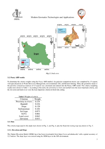
Fig. 2. Study area
3.2. Fuzzy AHP results
To determine the criteria weights using the Fuzzy AHP method, the pairwise comparison matrix was completed by 15 experts
with specializations in Water Resources Management, Environmental, GIS, and Remote Sensing. Then, the geometric mean of
the pairwise comparison matrices of 15 experts was calculated and entered into the Fuzzy AHP model. The criteria weighting
results were shown in Table 1. According to this table, the proximity to rivers and rainfall were the most important criteria, and
the elevation and land cover were the least important criteria in flood risk zoning.
Table 1 Weights of criteria
Criterion Weight
Proximity to rivers 0.334
Rainfall 0.226
Slope 0.129
Soil moisture 0.101
Soil type 0.073
NDVI 0.061
Land cover 0.043
Elevation 0.033
3.3. Data
The criteria maps used in this study were shown in Fig. 3. and Fig. 4. and, the flood risk zoning map was shown in Fig. 5.
3.3.1. Elevation and Slope
The Digital Elevation Model (DEM) layer has been downloaded from https://www.asf.alaska.edu/ with a spatial accuracy of
12.5 meters. The slope layer was created using the DEM layer in the GIS environment.
3