
Page 18 - NYS_ESS_11-2022
P. 18
Preservation of Boundary Evidence
By Jason Larson, LS
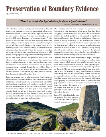
“There is no technical or legal substitute for found original evidence.”
(Wilson, Nettleman, III and Robillard 2021)
The collection, location, analysis, and interpretation of found One principle allowed early surveyors to circumvent the
evidence is a major part of what separates professional surveyors limitations of their equipment when setting boundary lines:
from someone who can read (or write) a legal description and using physical markers or natural features as visible and notorious
do some math or drafting. These days most boundary surveys evidence to establish positions on the ground to signify the
performed fall within the category of “retracement surveys”, as in location of boundary lines. Directions and distance values were
surveys of parcels of land that have been previously created and treated as merely byproducts of the measurements between
conveyed based on the “original survey”. Generally, the original these markers on the ground. The intent was always to provide
survey will have provided evidence in various forms for the the landowner and following surveyors an un-ambiguous path
retracing surveyor to be able to accurately establish the location to follow in re-establishment of the boundary lines by having
of the parcel on the ground. Within the context of boundary physical objects mark the corners of property. The physical
surveying, evidence can take many forms and is commonly held markings (monuments) were accepted to have no positional error
to have varying degrees of weight when determining boundaries. and therefore measurements yield to the actual monument.
In our field, when someone says precision, most assume that The term “monuments” mean many things to people. The origin
what is being talked about is consistency in measurement. of the word comes from the Greek mnemosynon and the Latin
Bearings and distances are, in theory, precise, but when those moneo, monere, which means “to remind”, “to advise” or “to
mathematical values need to be established on the ground, warn”. In a survey context the “to remind” is the applicable part.
measurements are required. Therein lies the problem. There is We use monuments to remind us of, and to perpetuate positions
always a certain amount of error and potential inaccuracies with on the earth. This can be any position, but is most commonly
all measurements. Measurements, by nature, allow uncertainty used to mark the locations of survey control points and corners
into the determination of boundary lines. of boundary lines. In the case of survey control, monuments
are assigned positions based on measurements. In the case of
But there are other ways to achieve precision. Our forerunners boundary corners, their positions are the result of subdivision
worked in times when it was understood that measurements could of real property and monuments are meant to memorialize and
not be relied upon to achieve the levels of accuracy required to perpetuate those positions on the earth. Measurements do not
clearly delineate boundaries, solely based on the available tools of create the position, they merely serve
the time (not to mention all the other sources of error). Various to provide directions to get to a
tools and methodologies were developed to help mitigate this particular position and to calculate
situation, but it was still highly dependent on the tools in use to dimensions like area.
make the measurements. Modern equipment is very precise and
accurate, but still suffers from the fact that measurements will In the US, it has historically been
always be subject to some error and uncertainty. the practice that when property
was subdivided and new parcels
created, monuments would be
16 EMPIRE STATE SURVEYOR / VOL. 58 • NO 6 / 2022 • NOVEMBER/DECEMBER