
Page 823 - PPL-engelsk 2025
P. 823
Navigation
On maps, standard parallels are indicated, for example, as follows:
Between the standard parallels, the distortion is below 1%.
Selected parallel is the parallel in the middle between two standard parallels. On
the VFR map Denmark, it is in the middle between the standard parallels of
54⁰40′ and 57⁰20′, respectively, and that is 56⁰
The central meridian is the meridian vertically through the middle of the map
and the center of the mapped area. On the ICAO map Denmark, it is
approximately 11⁰E
The meridians are transferred to the cone as straight lines that emanate from
the cone's vertex, while the parallels are transferred as circles that are concentric
with the tangent parallel.
All points of the terrain are then thought of as projected onto the cone surface.
Imagine that you stick a needle through the crust at each point from the interior
of the earth, so that it makes a dot in the cone. In this way, all coastlines, roads,
paths, railways, watercourses, masts, hills, etc. are marked, and you will
eventually have a map on the cone with all lines
and points marked as dots.
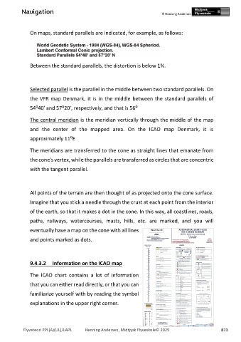
9.4.3.2 Information on the ICAO map
The ICAO chart contains a lot of information
that you can either read directly, or that you can
familiarize yourself with by reading the symbol
explanations in the upper right corner.
Flyveteori PPL(A)(UL)/LAPL Henning Andersen, Midtjysk Flyveskole© 2025 823