
Page 825 - PPL-engelsk 2025
P. 825
Navigation
There are also important markings along the sides
- Longitudes in degrees and minutes are at the top and bottom of the chart
- Latitudes are indicated on both sides, also in degrees and minutes.
For both, the following applies:
o whole and half degrees are shown with numbers
o tenths are marked
On the ICAO map, a compass line will curve slightly, while a great circle will be a
straight line.
When flying over short distances, you fly the same course the entire way, i.e.
following the compass line, while when flying over longer distances, for reasons
of time and fuel, you will set the course following the great circle.
9.4.3.3 Scale and scale indication
For flying in Denmark, we normally use maps in:
scale 1:500,000 where 1 cm on the map corresponds to 5 km in reality.
The ICAO map has a scale of 1:500,000, which, without distortion, applies to the
given parallels.
On a map with a smaller scale, only a smaller part of Denmark will be included,
while a map with a larger scale, depending on the scale and map size, will be able
to include a large part of Europe.
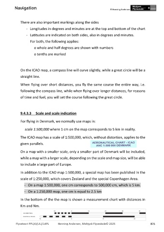
In addition to the ICAO map 1:500,000, a special map has been published in the
scale of 1:250,000, which covers Zealand and the special Copenhagen Area.
- On a map 1:500,000, one cm corresponds to 500,000 cm, which is 5 km.
- On a 1:250,000 map, one cm is equal to 2.5 km
In the bottom of the the map is shown a measurement chart with distances in
Km and Nm.
Flyveteori PPL(A)(UL)/LAPL Henning Andersen, Midtjysk Flyveskole© 2025 825