
Page 8 - City of Marion Information Technology Strategic Plan 2019-2021
P. 8
Expand and demonstrate the value of the GIS footprint
throughout the organization
This has come a long way from walking the streets with a fish finder trying to
locate values and meters to a full blown hosted solution that is affordable,
accurate. To date we have used GIS to locate over 18,000 burials which can be
easily access online. We have successfully located over 7,000 water meters and
growing. The sewer department is taken a huge step forward by hiring a fulltime
staff member to locate lines and equipment, in addition to locates each
workorder that is created, data is collected and stored which could be used for
future needs.
Key Strategies:
• Continue to work with hosted solution provider to keep services up to
date and current
GIS • Backup and secure data
• Increase use of GIS app with yard sales and public events
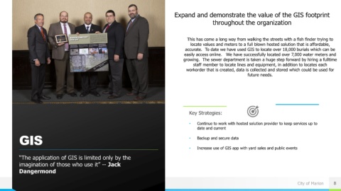
“The application of GIS is limited only by the
imagination of those who use it” -- Jack
Dangermond
City of Marion 8