
Page 10 - Tuskegee Airmen Drone License Preparatory Course Chp.2 Manual
P. 10
Topography and Aviation Charts:
o
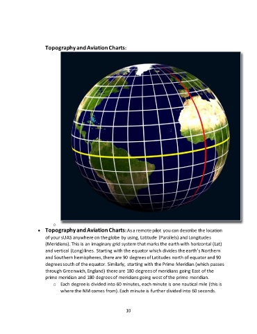
• Topography and Aviation Charts: As a remote pilot you can describe the location
of your sUAS anywhere on the globe by using, Latitude (Parallels) and Longitudes
(Meridians). This is an imaginary grid system that marks the earth with horizontal (Lat)
and vertical (Long) lines. Starting with the equator which divides the earth’s Northern
and Southern hemispheres, there are 90 degrees of Latitudes north of equator and 90
degrees south of the equator. Similarly, starting with the Prime Meridian (which passes
through Greenwich, England) there are 180 degrees of meridians going East of the
prime meridian and 180 degrees of meridians going west of the prime meridian.
o Each degree is divided into 60 minutes, each minute is one nautical mile (this is
where the NM comes from). Each minute is further divided into 60 seconds.
10